
Country United States FIPS code 23-83540 Elevation 189 m Local time Saturday 7:40 AM Area code 207 | Time zone Eastern (EST) (UTC-5) GNIS feature ID 0582807 Zip code 04783 Population 62 (2010) | |
 | ||
Weather -2°C, Wind E at 5 km/h, 66% Humidity Area 94.41 km² (92.2 km² Land / 220 ha Water) | ||
Westmanland is a town in Aroostook County, Maine, United States. The population was 62 at the 2010 census.
Contents
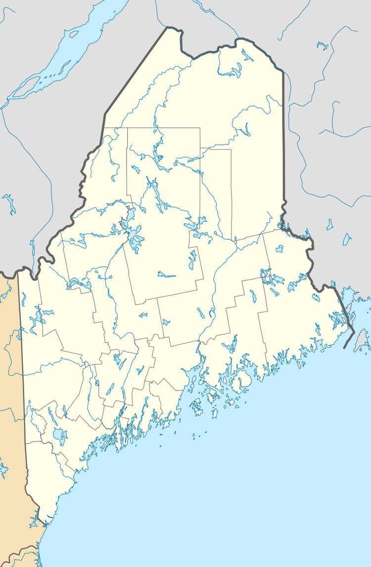
Map of Westmanland, ME, USA
Geography
According to the United States Census Bureau, the town has a total area of 36.45 square miles (94.41 km2), of which 35.60 square miles (92.20 km2) is land and 0.85 square miles (2.20 km2) is water.
History
Starting in 1870, a Swedish-immigrant colony was established by the State of Maine in Aroostook County. On March 23, 1870 the Maine State Legislature passed an Act authorizing a Board of Immigration and William W. Thomas, Jr. was named Commissioner of Immigration. Thomas went to Sweden, recruited immigrants and led them first into New Sweden township followed by the townships of Westmanland and Stockholm.
In 1879 the first group of immigrants to settle in Westmanland. Victor Lindberg, from the Swedish province of Västmanland, arrived in the area of Westmanland during 1881. He is credited with naming the new plantation Westmanland when it was organized June 1, 1892.
2010 census
As of the census of 2010, there were 62 people, 31 households, and 19 families residing in the town. The population density was 1.7 inhabitants per square mile (0.7/km2). There were 102 housing units at an average density of 2.9 per square mile (1.1/km2). The racial makeup of the town was 98.4% White and 1.6% Native American.
There were 31 households of which 12.9% had children under the age of 18 living with them, 54.8% were married couples living together, 6.5% had a female householder with no husband present, and 38.7% were non-families. 32.3% of all households were made up of individuals and 6.4% had someone living alone who was 65 years of age or older. The average household size was 2.00 and the average family size was 2.47.
The median age in the town was 55 years. 16.1% of residents were under the age of 18; 0% were between the ages of 18 and 24; 16.1% were from 25 to 44; 46.8% were from 45 to 64; and 21% were 65 years of age or older. The gender makeup of the town was 54.8% male and 45.2% female.
2000 census
As of the census of 2000, there were 71 people, 33 households, and 17 families residing in the town. The population density was 2.0 people per square mile (0.8/km²). There were 123 housing units at an average density of 3.4 per square mile (1.3/km²). The racial makeup of the town was 94.37% White and 5.63% Native American.
There were 33 households out of which 24.2% had children under the age of 18 living with them, 42.4% were married couples living together, 9.1% had a female householder with no husband present, and 45.5% were non-families. 33.3% of all households were made up of individuals and 6.1% had someone living alone who was 65 years of age or older. The average household size was 2.15 and the average family size was 2.83.
In the town, the population was spread out with 19.7% under the age of 18, 2.8% from 18 to 24, 25.4% from 25 to 44, 32.4% from 45 to 64, and 19.7% who were 65 years of age or older. The median age was 46 years. For every 100 females there were 115.2 males. For every 100 females age 18 and over, there were 119.2 males.
The median income for a household in the town was $30,750, and the median income for a family was $33,750. Males had a median income of $22,917 versus $23,750 for females. The per capita income for the town was $13,551. There were 15.0% of families and 8.3% of the population living below the poverty line, including no one under eighteen and 37.5% of those over 64.