
Ward 8 Population 3,145 (2006) | Quadrant SW Established 1957 Local time Saturday 4:55 AM | |
 | ||
Weather 6°C, Wind SW at 8 km/h, 43% Humidity Restaurants A Pizza Plus, WI Project, Panago Pizza, Regal Beagle | ||
Westgate is a residential neighbourhood in the south-west quadrant of Calgary, Alberta. It is bounded by Bow Trail to the north, 45 Street W to the east, 17 Avenue S to the south and Sarcee Trail to the west. Edworthy Park is located north of the community.
Contents
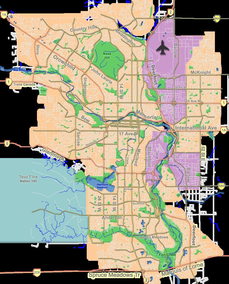
Map of Westgate, Calgary, AB, Canada
The area was annexed to the City of Calgary in 1956 and Westgate was established in 1957. It is represented in the Calgary City Council by the Ward 8 councillor.
Demographics
In the City of Calgary's 2012 municipal census, Westgate had a population of 3,172 living in 1,334 dwellings, a 2.3% increase from its 2011 population of 3,101. With a land area of 1.2 km2 (0.46 sq mi), it had a population density of 2,640/km2 (6,850/sq mi) in 2012.
Residents in this community had a median household income of $54,309 in 2000, and there were 10.4% low income residents living in the neighbourhood. As of 2000, 14.2% of the residents were immigrants. A proportion of 14.6% of the buildings were condominiums or apartments, and 24.3% of the housing was used for renting.
Education
The community is served by Vincent Massey junior high and Westgate Bilingual elementary public schools.