
OS grid reference TQ004567 Local time Saturday 11:46 AM Team Westfield L.F.C. | Sovereign state United Kingdom Postcode district GU22 UK parliament constituency Woking | |
 | ||
Weather 15°C, Wind SW at 18 km/h, 57% Humidity | ||
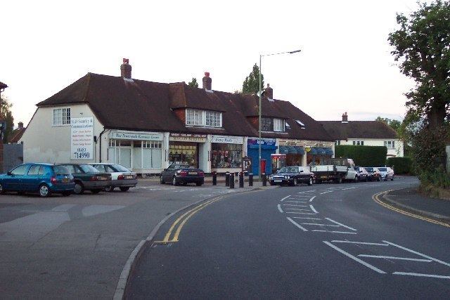
Westfield is a village in Woking Borough, Surrey. Westfield marks the southern boundary of Woking altering from a traditional suburban character in the north to a semi-rural appearance in the south. The Southern boundary is Green Belt.
Contents
- Map of Westfield Woking UK
- Pre history
- 16th Century
- 19th Century
- Modern housing development
- Facilities
- Schools
- Politics
- Sport and leisure
- References
Map of Westfield, Woking, UK
Pre-history
There is some archaeological evidence of Late Bronze Age activity in Westfield. Late Bronze Age artefacts have been recovered from this area and are now stored in the British Museum.
16th Century
Westfield was one of three ‘open fields’ of the ancient town of Woking (see Old Woking) and was first recorded in 1548. The ‘west’ field was in fact divided into two areas with the ‘lower west field’ occupying the area of present day Westfield Avenue and the Football Ground and the ‘upper west field’ covering the area to the south and east of the Westfield Road. The Old Cricketers Inn and Cricketers Cottage on Westfield Common have a 16th Century provenance Built in the 16th century, Walnut Tree Cottage was the site of a Liquorice factory.
19th Century
As well as the ‘common fields’ Westfield had a large area of ‘common land’ that, despite being bought by the London Necropolis Company in the mid-19th century, remains open even today. The registered common land is called Westfield Common.
Modern housing development
All of the 'modern development' of Westfield (as well as Kingfield and Old Woking) has been on the former fields of the area, with the bounds of many of these fields still traceable in the estate boundaries. For example:
Facilities
Schools
Westfield has a Primary School and Pre-School located down Bonsey Lane. There used to be a Secondary School called Highlands, though this formed with Horsell County Secondary School in Horsell to become Horsell High School, which later became Woking High School. Most local children attend either Westfield Primary School (Bonsey Lane), Send School, Barnsbury School and BDB, Woking High School and The Winston Churchill School. The younger children attend various pre-schools around the area
Politics
Westfield, together with Barnsbury & Kingfield, form an electoral ward of Woking called Kingsfield & Westfield. The polling districts are Westfield (KB), Kingfield (KC) & Barnsbury (KA).
Sport and leisure
Westfield has a Non-League football club Westfield (Surrey) F.C. who play at Woking Park.