
Population 2,003 Local time Saturday 8:12 AM | ||
 | ||
Weather 11°C, Wind S at 5 km/h, 90% Humidity | ||
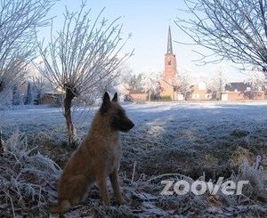
Westerhoven is a village in the Dutch province of North Brabant. It is located in the municipality of Bergeijk, about 15 km southwest of Eindhoven.
Contents
Map of Westerhoven, Netherlands
History
Westerhoven lies in a valley between the rivers 'Keersop' and 'Beekloop' which both flow just outside the centre of the village through a nice piece of nature. Already in prehistoric times there appears to be a settling of nomad tribes in this attractive area. The hill connecting the neighbor village Riethoven dates from Roman times. There has been found Frankish ceramics when they removed an old oak shore. Westerhoven used to be part of the ‘heerlijkheid’ Bergeyk but became independent in 1810. Westerhoven was a separate municipality until 1997, when it became part of Bergeijk by municipality reclassification.
The spoken language is Kempenlands (an East Brabantian dialect, which is very similar to colloquial Dutch).