
Population 429 (2011) Country England Post town HYTHE Local time Saturday 7:01 AM District Shepway UK parliament constituency Folkestone and Hythe | Region South East Sovereign state United Kingdom Postcode district CT21 Shire county Kent Dialling code 01303 | |
 | ||
Weather 9°C, Wind SW at 16 km/h, 89% Humidity | ||
Westenhanger castle kent uk
Westenhanger is a small village in south-east Kent, England. It is located around 3 miles (5 km) north-west of Hythe and just south of junction 11 of the M20 motorway. Stone Street, the Roman road from nearby Lympne to Canterbury, passes through the village. It is in the civil parish of Stanford.
Contents
- Westenhanger castle kent uk
- Map of Westenhanger Hythe UK
- Rex cadmans final war and peace show revival 2015 raf westenhanger panzer
- References
Map of Westenhanger, Hythe, UK
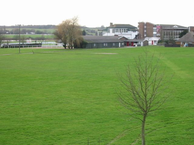
Westenhanger is home to Folkestone Racecourse, which during World War II also served as an airfield, RAF Westenhanger. It closed for redevelopment in December 2012. Another attraction is Westenhanger Castle, located beside the grandstand of the racecourse.
The village also has its own railway station, served by Southeastern trains running between Charing Cross and Dover via Ashford.
Rex cadmans final war and peace show revival 2015 raf westenhanger panzer
References
Westenhanger Wikipedia(Text) CC BY-SA