
OS grid reference SU396632 Local time Saturday 5:57 AM | Civil parish West Woodhay Area 14.75 km² Dialling code 01488 | |
 | ||
Population 122 (2011 census including Coombe) Weather 8°C, Wind S at 18 km/h, 88% Humidity | ||
West Woodhay /wɛst.wʊdiː/ is a rural scattered village and civil parish in West Berkshire, England. At the 2011 census it had 59 households.
Contents
Map of West Woodhay, Newbury, UK
Geography
The area is more elevated compared to the rest of the county of Berkshire and the district. It is undulating and has the main source of the Enborne. It is has a border to the south with Hampshire and is centred 3 miles (4.8 km) west south-west of Newbury, between Inkpen and Ball Hill. The eastern slopes of Walbury Hill, the highest point in South East England fall within its bounds as is the adjoining West Woodhay Down, a Site of Special Scientific Interest.
Amenities
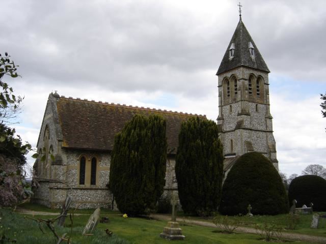
The main built amenities are the Church of England parish church, small sanitary works and remains of a small motte (mound) in woodland near the village centre.