
Length 242.7 km | ||
 | ||
Counties Pocahontas County, West Virginia | ||
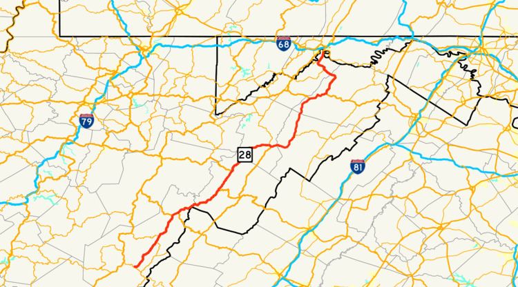
West Virginia Route 28 is a north–south route through the Potomac Highlands of the U.S. state of West Virginia. The southern terminus of the route is at West Virginia Route 39 in Huntersville. The northern terminus is at the Maryland state line in Wiley Ford, where the route continues into Cumberland as Canal Parkway upon crossing the North Branch Potomac River.
Contents
Map of WV-28, West Virginia, USA
Attractions
Historic sites
WV 28 Alternate
West Virginia Route 28 Alternate is a north–south alternate route of West Virginia Route 28 around Wiley Ford in northern West Virginia. The southern terminus of the route is at WV 28 in Wiley Ford. The northern terminus is at the Maryland state line in Ridgeley, where the road continues into Cumberland as MD 942 (Bridge Street) after crossing the North Branch Potomac River. The road passes by Fort Ohio in Ridgeley.