
Population 140 Sovereign state United Kingdom Local time Saturday 4:29 AM | OS grid reference ST785226 | |
 | ||
Weather 8°C, Wind S at 21 km/h, 93% Humidity | ||
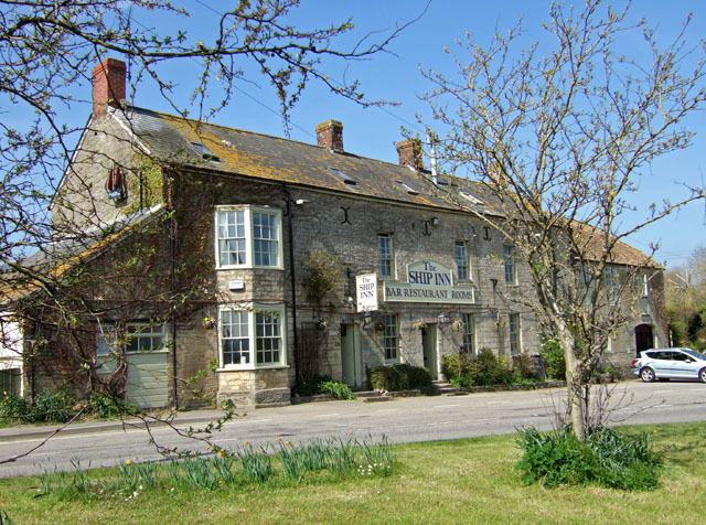
West Stour is a village and civil parish situated in the Blackmore Vale area of North Dorset, England. It is one of a group of villages known as The Stours, located in the River Stour Valley, 5 miles (8.0 km) south of Gillingham. West Stour has a village hall, one public house and a service station on the main A30 road. In 2013 the civil parish had an estimated population of 140.
Map of West Stour, Gillingham, UK
In 1086 in the Domesday Book two settlements were recorded in the parish: West Stour and Little Kington. The latter remained small but West Stour developed into a village. West Stour's open fields were enclosed in 1779.
West Stour is one of four parishes—the others being East Stour, Stour Provost and Todber—under the governance of The Stours Parish Council.
The nearest railway station is at Gillingham. Trains run on the Exeter to Waterloo line.