
Country United States ZIP code 55102, 55116 Population 11,041 (2010) | Time zone CST (UTC-6) Area 7.192 km² Area code 651 | |
 | ||
Restaurants Mancinis Char House, Muccis Italian, Forepaug Restaurant, DeGidio's Restaurant & Bar, Skinner's Pub & Eatery | ||
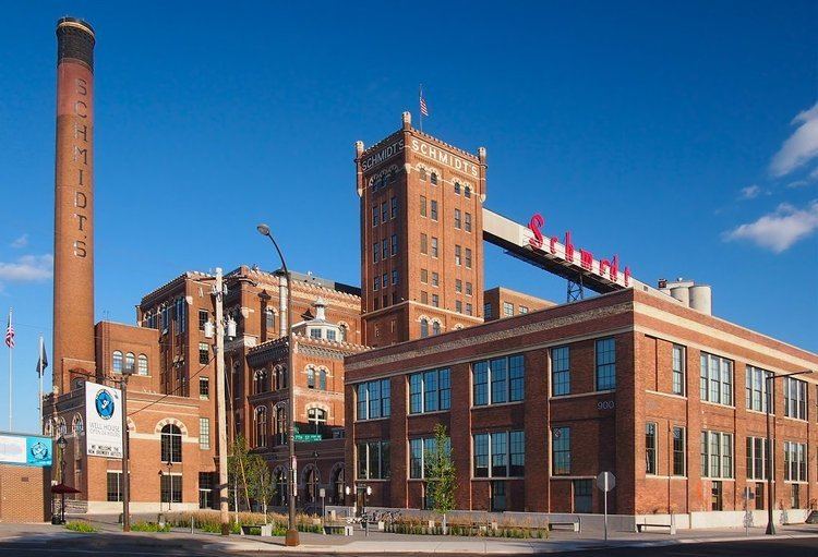
West Seventh is a neighborhood in Saint Paul, Minnesota. This area is colloquially known as the West End, and is not to be confused with the West Side, a different neighborhood. The West End lies at the base of Summit Hill and along the western bluffs of the Mississippi River, spanning the entire length of West Seventh Street, or Old Fort Road; it is also known as the Fort Road area. Fort Road was a historic Native American and fur trader path along the Mississippi River from downtown Saint Paul to Fort Snelling.
Contents
Map of West Seventh, St Paul, MN, USA
History
The first settlement in the West Seventh area, known as "Pig's Eye", was formed by Pierre Parrantin the spring of 1838. He along with several Canadians left Fort Snelling and constructed a settlement near Fountain Cave. The settlement was quickly destroyed in 1839 by soldiers from Fort Snelling after the army extended the Fort's boundary an additional five miles. In the fall of 1838 Edward Phelan built a cabin around 8 modern blocks east of Pig's Eye. By 1840 Phelan had sold his claim for $200 to a Canadian family before moving to the present-day East Side of Saint Paul. In 1843 the Canadian family sold the claim to John R. Irvine.
Irvine built a log cabin and docked his boat along the shore. He began selling firewood as fuel to steamboats and eventually built a sawmill. Steamboats first began to stop to pick up fuel but then began to drop off new settlers and supplies. Within five years the location where Irvine docked his boat became a commercial steamboat dock surrounded by warehouses known as the Upper Landing. The area surrounding the Upper Landing became known as Uppertown by 1850. As the area grew Irvine began selling real estate and the area around a cow pasture he donated to the city in 1849 became Irvine Park, a fashionable residential district. Notable residents included LaFayette Emmett, William Rainey Marshall Alexander Ramsey, and Jacob H. Stewart.
The West Seventh neighborhood was a traditional immigrant neighborhood for several waves of immigrants to the area. The first wave was mostly Germans, who built several breweries in the area by the 1860s. The next wave was of Poles and Czechs who came in the 1870s. During the 1880s large populations of Irish, German, Czech and Scandinavian immigrants moved to the West End. At the turn of the century a large concentration of Italians moved to the neighborhood from southern Italy. They settled mostly in the old Polish levee underneath the High Bridge. Due to constant flooding and the construction of Shepard Road most left in the 1950s. The most recent wave has been Mexicans.
Transportation
The main arterial street, West Seventh Street or Fort Road, runs southwest from downtown Saint Paul roughly parallel to the Mississippi River. The first transportation near the neighborhood was entirely dependent on the river. Development began to grow along West Seventh Street from the Upper Landing, a commercial steamboat dock. By 1884 a horse-drawn streetcar went along West Seventh to downtown; it was converted to electricity by 1891. The line was extended the length of West Seventh street in 1891 and converted to a bus route in 1952. Since 1934 West Seventh Street has carried a portion of Minnesota State Highway 5. The neighborhood is connected to the Interstate Highway System via Interstate 35E. Construction of the interstate garnered significant opposition from local residents who opposed the project. After 26 years the project was completed after several changes were made to the original plans.
The West Seventh neighborhood is located along the Riverview Corridor. The corridor is considered a significant transit corridor linking Downtown Saint Paul with the Minneapolis-Saint Paul International Airport and the Mall of America. There have been several proposals to place light rail or bus rapid transit through the corridor along different alignments.