
Population 288 (2011) Civil parish West Rudham Area 11.81 km² | OS grid reference TF820277 Sovereign state United Kingdom Local time Saturday 3:57 AM | |
 | ||
Weather 8°C, Wind SE at 16 km/h, 84% Humidity District | ||
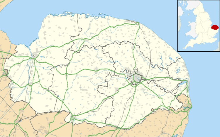
West Rudham is a civil parish in the English county of Norfolk. The village straddles the A148 King's Lynn to Cromer road. It covers an area of 11.81 km2 (4.56 sq mi) and had a population of 213 in 97 households at the 2001 census, the population including Houghton and increasing to 288 at the 2011 census. For the purposes of local government, it falls within the district of King's Lynn and West Norfolk.
Map of West Rudham, UK
References
West Rudham Wikipedia(Text) CC BY-SA