
Length 30 km | ||
 | ||
Main source Main: Sheet Harbour Road172 metres (564 ft)Killag: 155 metres (509 ft)Little: 93 metres (305 ft) (Lake Alma) River mouth Sheet Harboursea level | ||
West river sheet harbour smolt wheel1
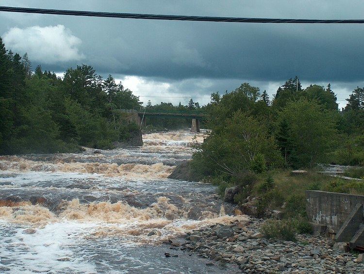
West River Sheet Harbour (locally known as West River) is a river on the Eastern Shore of Nova Scotia, Canada, in the Halifax Regional Municipality. Its headwaters are near the Musquodoboit Valley and the river flows southeast and empties in to the Northwest Arm of Sheet Harbour, Nova Scotia. The river has three main tributaries: West River Main, Killag River and Little River. The river was suffering from acidification, so a lime doser was installed and has been in use since September 2005. It stabilized the river's pH at 5.5, a healthy level for aquatic life.
Contents
- West river sheet harbour smolt wheel1
- Map of West River Sheet Harbour Sheet Harbour NS Canada
- History
- Tributaries
- Lime dosing
- References
Map of West River Sheet Harbour, Sheet Harbour, NS, Canada
History
In 1922, a ground-wood pulp mill, owned by the American Pulp and Wrapping Paper Co. of Albany, began operation on the West River Falls. They had purchased it from Rhodes and Currie, the previous owners who were a lumber company. It produced its first ground-wood pulp on October 5, 1925. It remained in operation until it was destroyed by Hurricane Beth in August 1971.
Tributaries
West River Sheet Harbour has three main tributaries: West River Main, Killag River and Little River.
West River Main is the main tributary of the West River system. It is approximately 30 kilometres (19 mi) long and its headwaters are at an altitude of 172 metres (564 ft) near Sheet Harbour Road, on the southern ridge of the Musquodoboit Valley. The river is prone to flash-flooding. There are two lake-like pools on the river. The first and more southerly one is Sheet Harbour Lake, which has an area of 1.2 km2 and is located near the West River Falls in Sheet Harbour. The other lake is Little Lake, which is more inland in the system and has an area of 0.5 km2. Killag River and Little River both discharge in to the Main West River. The river then flows through Sheet Harbour Lake, then down the West River Falls and discharges in to the Northwest Arm of Sheet Harbour.
The Killag River is a secondary tributary of the West River Sheet Harbour system. It is approximately 27 kilometres (17 mi) long. It's headwaters are at an altitide of 155 metres (509 ft). Most of the salmon in the river system breed on the Killag River. Killag River discharges in to Main West River.
The Little River is a secondary tributary of the West River Sheet Harbour system. Its headwaters are in Lake Alma, a shallow lake at an altitude of 93 metres (305 ft). Little River is approximately 16.5 kilometres (10.3 mi) long. Little River discharges in to Main West River.
Lime dosing
West River has been dosed with a lime doser since September 2005. It was the result of the worsening salmon population in Atlantic Canada rivers, which is being caused be acid rain and low pH levels. It was successful in stabilizing the pH of the river at 5.5, which is a healthy level for salmon and other water life.