
Country United States ZIP code 55008 and 55371 Elevation 288 m | Time zone Central (CST) (UTC-6) Area code(s) 763 Local time Friday 9:34 PM | |
 | ||
Weather 6°C, Wind SE at 0 km/h, 54% Humidity | ||
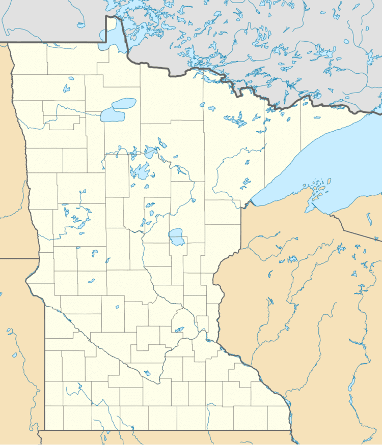
West Point is an unincorporated community in Isanti County, Minnesota, United States.
Map of West Point, MN 55008, USA
The community is located at the junction of State Highway 47 (MN 47) and Roanoke Street NW. The Rum River flows through the community.
West Point is located at the survey point boundary line for:
References
West Point, Minnesota Wikipedia(Text) CC BY-SA