
ZIP codes 52656-52657 Elevation 234 m Population 968 (2013) Area code 319 | Time zone Central (CST) (UTC-6) FIPS code 19-84585 Area 158 ha Local time Friday 9:34 PM | |
 | ||
Weather 6°C, Wind N at 8 km/h, 87% Humidity | ||
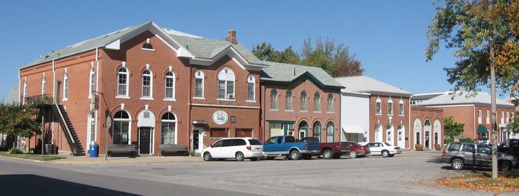
West Point is a city in Lee County, Iowa, United States. The population was 966 at the 2010 census. It is part of the Fort Madison–Keokuk, IA-MO Micropolitan Statistical Area.
Contents
- Map of West Point IA 52656 USA
- History
- Geography
- 2010 census
- 2000 census
- Sweet Corn Festival
- Notable people
- References
Map of West Point, IA 52656, USA
History
West Point was incorporated on March 25, 1858. The name of West Point was chosen by officers of the garrison at Fort Des Moines (Montrose).
Geography
West Point's latitude and longitude coordinates in decimal form are 40.717249, -91.451672.
According to the United States Census Bureau, the city has a total area of 0.61 square miles (1.58 km2), all of it land.
2010 census
As of the census of 2010, there were 966 people, 432 households, and 267 families residing in the city. The population density was 1,583.6 inhabitants per square mile (611.4/km2). There were 452 housing units at an average density of 741.0 per square mile (286.1/km2). The racial makeup of the city was 99.1% White, 0.3% African American, 0.1% Asian, and 0.5% from two or more races. Hispanic or Latino of any race were 0.9% of the population.
There were 432 households of which 26.2% had children under the age of 18 living with them, 51.6% were married couples living together, 6.3% had a female householder with no husband present, 3.9% had a male householder with no wife present, and 38.2% were non-families. 33.8% of all households were made up of individuals and 15.7% had someone living alone who was 65 years of age or older. The average household size was 2.17 and the average family size was 2.71.
The median age in the city was 44.2 years. 20.7% of residents were under the age of 18; 6.8% were between the ages of 18 and 24; 23.6% were from 25 to 44; 26.3% were from 45 to 64; and 22.7% were 65 years of age or older. The gender makeup of the city was 47.2% male and 52.8% female.
2000 census
As of the census of 2000, there were 980 people, 426 households, and 264 families residing in the city. The population density was 1,687.8 people per square mile (652.4/km²). There were 450 housing units at an average density of 775.0 per square mile (299.6/km²). The racial makeup of the city was 99.90% White, 0.10% from other races. Hispanic or Latino of any race were 0.51% of the population.
There were 426 households out of which 26.3% had children under the age of 18 living with them, 53.8% were married couples living together, 6.6% had a female householder with no husband present, and 37.8% were non-families. 33.8% of all households were made up of individuals and 18.8% had someone living alone who was 65 years of age or older. The average household size was 2.19 and the average family size was 2.83.
In the city, the population was spread out with 20.6% under the age of 18, 5.9% from 18 to 24, 24.3% from 25 to 44, 25.2% from 45 to 64, and 24.0% who were 65 years of age or older. The median age was 44 years. For every 100 females there were 84.6 males. For every 100 females age 18 and over, there were 85.7 males.
The median income for a household in the city was $38,409, and the median income for a family was $50,724. Males had a median income of $36,797 versus $22,750 for females. The per capita income for the city was $27,289. About 4.6% of families and 4.4% of the population were below the poverty line, including 2.9% of those under age 18 and 4.0% of those age 65 or over.
Sweet Corn Festival
West Point is home to Iowa's Largest Sweet Corn Festival. The first festival was in August 1958. There are nearly 25,000 visitors during the four-day event and over 17 tons of sweet corn. The festival includes free sweet corn and stage entertainment, arts and crafts, bingo, 5K and 10K run, queen crowning, tractor pull, city parade, and teen dance.