
Country United States County Tippecanoe Time zone Eastern (EST) (UTC-5) Elevation 220 m Local time Friday 10:34 PM | State Indiana Township Wayne GNIS feature ID 445856 Population 594 (2010) | |
 | ||
Weather 4°C, Wind NW at 18 km/h, 87% Humidity Area 138.8 km² (138.6 km² Land / 26 ha Water) | ||
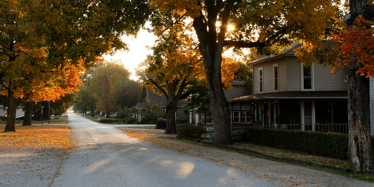
West Point (sometimes shown as Westpoint) is an unincorporated community in Wayne Township, Tippecanoe County, Indiana, United States. The population was 594 at the 2010 census.
Contents
Map of West Point, IN 47992, USA
The community is part of the Lafayette, Indiana Metropolitan Statistical Area.
Geography
West Point is located at 40°20′42″N 87°2′35″W (40.345036, -87.043066) along State Road 25 at an elevation of approximately 673 feet. The town is in Wayne Township and sits about a quarter of a mile north of Flint Creek which flows west to the Wabash River.
A village named Glen Hall existed on the north side of West Point in the 19th century; though still populated, the site is now generally considered part of West Point. Additionally, residents of the former town of Granville are listed using West Point addresses.
History
The town was platted in 1833 by Samuel Kiser. It was founded as Middleton, but residents changed the name of the town to West Point.
The West Point post office has been in operation since 1836.
Economy
Most residents of West Point are employed outside of the main portion of the town with agriculture and businesses in Lafayette and West Lafayette. There are a number of equestrian centers and horse barns with close ties to the town. There are two restaurants, The Pour House (a coffee shop), and Eddie Joe's Ice House. Martin's Body and Paint is an automotive repair shop located in the town. Cheesman Inc is a construction and contracting located centrally within West Point.
Religion
West Point is home to one church, West Point United Methodist. Another church was closed and converted to an antiques shop in the early 2010s.
There are several cemeteries and gravesites within the area. West Point Cemetery is the only one mainly located in the town.
Community
West Point has a growing level of community involvement, which primarily revolves around West Point Park (the former location of West Point High School, now demolished) and the West Point Volunteer Fire Department. Each year, the West Point Park hosts a charity 5 km run, and the Volunteer Fire Department puts on a community fish fry to raise funds for equipment.
Education
West Point residents are served by Tippecanoe School Corporation. The town used to have a high school (home of the West Point Cadets), which was closed due to consolidation in 1956 when Southwestern HS consolidated West Point, Shadeland, Romney, Wea & Jackson. McCutcheon High School opened in 1972. High school students now report to McCutcheon High School. Elementary and middle school students report to Mintonye Elementary School and Southwestern Middle School respectively.