
Population 15,967 (2011 census) State electorate(s) Baulkham HillsEpping Postal code 2125 | Postcode(s) 2125 Local time Saturday 1:21 PM | |
 | ||
LGA(s) The Hills ShireHornsby Shire Weather 24°C, Wind SW at 8 km/h, 43% Humidity Points of interest Koala Park Sanctuary, Cumberland State Forest, Mount Wilberforce Lookout, Richard Webb Reserve, Cumberland | ||
West Pennant Hills is a suburb in the Hills District of Sydney, New South Wales, Australia. West Pennant Hills is 25 kilometres north-west of the Sydney central business district in the local government areas of Hornsby Shire and The Hills Shire. Thompsons Corner is a locality in the suburb at the corner of Castle Hill and Pennant Hills Roads.
Contents
- Map of West Pennant Hills NSW 2125 Australia
- Commercial area
- History
- Parks and recreation
- Population
- References
Map of West Pennant Hills NSW 2125, Australia
The section of the suburb within The Hills Shire council is colloquially known as West Pennant Hills Valley or The Valley.
Commercial area
West Pennant Hills is a residential suburb with a commercial area located at Thompsons Corner, also the site of the suburb's government primary school, West Pennant Hills Public School. The nearest train stations are Beecroft and Pennant Hills, the suburb is also serviced by buses.
To the north of West Pennant Hills near Castle Hill Road there is a small shopping complex on Coonara Avenue, where a Woolworths, newsagency, restaurants and several other small shops are located.
The IBM office located in West Pennant Hills has a regeneration plan to assist in the preservation of "nationally protected remnant ‘Sydney Blue Gum High Forest’ and Remediation and Protection ‘Sydney Turpentine Ironbark Margin Forest’ located on site"
History
The suburb was named for both its geological features and its man-made additions. When Sydney was first established, 'Pennant Hills', applied to the range of hills stretching north from Parramatta. The Pennant refers to a flag pole erected on the area’s highest point. During the first years of the Sydney settlement this flag pole with its pennant was a form of early communication between the government in Parramatta and the governor’s outer Sydney residence. It was used to signal to Parramatta that the governor was returning to Parramatta after spending time at his retreat in the outer areas of Sydney. When his horse-drawn carriage went past Thompsons Corner, the pennant would be raised and as this was in clear sight of the Parramatta garrison, they would prepare for his return in a few days. Local stories twist this system to say that when the pennant was raised the soldiers would have to stop drinking and clean up the streets after running amok in his absence.
In 1850, at a time when the combined population of Field of Mars Common and Castle Hill numbered fewer than 3,000 people, Henry Parkes approved, on behalf of the Board of National Education in New South Wales, the appointment of local patrons for the commencement of Pennant Hills Public School. Botany, Fort Street, Smithfield and Pennant Hills were the first metropolitan schools under the control of the newly constituted Board. The school first opened under the name of Pennant Hills Public School when the township of Pennant Hills was centred on the ridge at the intersection of Pennant Hills and Castle Hill Roads, which was a trading point on the way north. When the railway station line came through the area, a new school was built in 1925 closer to the railway station, to be known as ‘Pennant Hills East’. West was added to the name of the original school and it became ‘Pennant Hills West’ and eventually the area around Thompsons Corner became known as West Pennant Hills.
Thompsons Corner is named after Andrew Thompson (1773-1810), a convict (see Scotland Island), who received a grant of 100 acres (0.40 km2) in 1796 opposite the signal station in Pennant Hills. Workmen on the railway from Strathfield to Hornsby established a camp and stores depot there in about 1890. During Lachlan Macquarie's governorship (1810–21), a timbersawing establishment stood near today's Thompsons Corner. In those early days the pit-sawyers roamed the countryside, and the saw pits were set up at various places close to forest areas. In the early 1990s, one of the last mills was demolished, having stood at the bottom of Hill Road.
Pennant Hills Post Office opened on 1 January 1867 and was renamed West Pennant Hills on 1 August 1898, due to the Pennant Hills Railway Station office (opened two months earlier) being given the name Pennant Hills.
Parks and recreation
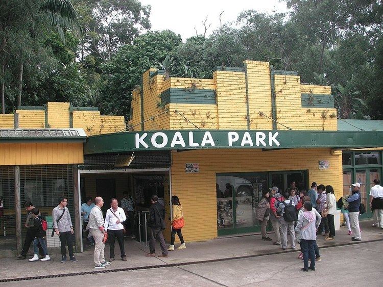
Tourist attractions include the Cumberland State Forest and the Koala Park Sanctuary.
Population
At the 2011 census, West Pennant Hills recorded a population of 15,967. Of these: