
 | ||
Restaurants Paradise Canyon Golf Resort, Mad Moe's Pizza, Ciao Mein, Mojo's Pub & Grill, Browns Socialho Lethbridg | ||
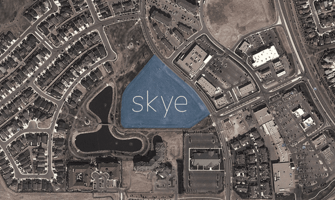
House for rent in west lethbridge 2 of 2
West Lethbridge (or The Westside), is one of three geographical areas in Lethbridge, Alberta, Canada. It is the newest and the fastest growing. It is the home of the University of Lethbridge and is a residential area primarily.
Contents
- House for rent in west lethbridge 2 of 2
- Map of West Lethbridge Lethbridge AB Canada
- History
- Demographics
- Neighbourhoods
- Amenities
- Development
- Transportation
- References
Map of West Lethbridge, Lethbridge, AB, Canada
History
West Lethbridge is geographically isolated by a loop in the Oldman River to the west, south and east. Lethbridge proper is across the river to the east. The first bridge across the river opened in November 1890 at a cost of $38,000.
As Lethbridge continued to grow in the middle of the 20th century, the 1969 General Plan recommended westward expansion of the city across the Oldman River. As a result of this recommendation, the Oldman River Regional Planning Commission prepared the report "The Urbanization of West Lethbridge" in 1969. This report proposed West Lethbridge development as a village concept. Each village would include a school, a major park and a commercial centre. Each village was planned to be approximately one square mile in area, contain two neighbourhoods of roughly 6,000 persons each and bounded by arterial roads. This concept still serves as a framework for development in West Lethbridge. The report was prepared for a first phase of development up to 30,000 residents.
By the time the city began including West Lethbridge in its census in 1971, there were fewer than 70 residents. By the following year, 254 residents lived here. This was also the year the University of Lethbridge moved to the Westside.
Demographics
The 2006 municipal census reported West Lethbridge had a population of 27,154. Since the 1970s, the area has seen an average population increase of 18%, not including the years of 1972 and 1976, when it saw increases of 274% and 281% respectively. The bulk of the city's growth since the early 1990s has been on the west side. Its population is younger than North and South Lethbridge, with only 3% over age 65.
Neighbourhoods
Amenities
While primarily a residential area of the city, West Lethbridge still contains many service and retail amenities. Shopping centres include MicMac Plaza, West Village Mall, and the regional shopping centre West Lethbridge Towne Centre. The urban park Nicholas Sheran Park is on the Westside as is the Nicholas Sheran Leisure Centre, an aquatic centre and ice arena. In addition to the University of Lethbridge, education services are provided by three public elementary schools, one public middle school, three private elementary schools, and two high schools (one private and one public). Another major park in Lethbridge is West Highlands Park with amenities such as a lake, walking paths, covered and uncovered patio areas. Currently under development is the Crossings Leisure Complex.
Development
In 2004, Lethbridge City Council announced plans for the second phase of growth in West Lethbridge, covering a 600 hectare (1,483 acre) area west of Indian Battle Heights and Varsity Village. In 2006, the council voted to put $12 million toward the West Lethbridge Centre. Once complete, the centre would serve as West Lethbridge's hub and would consist of two high schools, a branch of the Lethbridge Public Library, parks and fields for softball, soccer and other sports. Additionally, the cities first major leisure centre, the Crossings Leisure Complex, is being constructed. It will consist of two NHL style ice rinks, an Olympic class swimming pool, a waterpark with waterslides and wave pool, 12 curling rinks, an indoor track, and gym. The centre will be located in the new The Crossings subdivision.
Transportation
Transportation in West Lethbridge consists of a major road network. University Drive is currently the major arterial roadway in the area. It connects with Whoop-up Drive, the city's busiest roadway, and Crowsnest Trail, the city's connection to Calgary, British Columbia, and Saskatchewan. Several collector roads connect with University Drive.
In 2006, University Drive was widened from Whoop-up Drive to the location of the proposed sports arena, making the roadway six lanes in areas, including multiple turning lanes onto access roads for the University of Lethbridge.
Six bus routes operated by Lethbridge Transit service the Westside, with two of them offering connections to downtown, North Lethbridge and South Lethbridge. All routes converge at a transit terminal located at the university.