
Zip code 21229 Population 2,523 (2010) | Time zone Eastern (UTC-5) Area 91 ha Local time Friday 7:51 PM | |
 | ||
Weather 9°C, Wind W at 10 km/h, 95% Humidity | ||
West Hills is a neighborhood in the Southwest District of Baltimore, located between the neighborhoods of Westgate (south), Franklintown (north) and Hunting Ridge (east). Its boundaries are drawn by the Baltimore County line (west), Baltimore National Pike (south) and North Franklintown Road (north). Its eastern boundary follows Cooks Lane from Baltimore National Pike, then Briarclift Road and finally Wynans Way to the intersection with N. Franklintown Road.
Contents
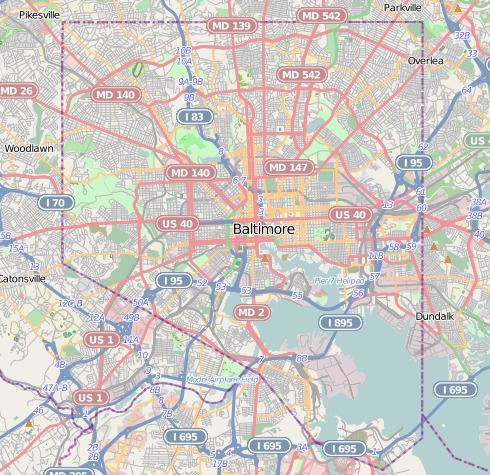
Map of West Hills, Woodlawn, MD 21229, USA
Demographics
Its population, as of the 2010 census, was more than 75 percent black. The median household income of $35,557 in West Hills for 2010 was a close match to the city-wide median of $39,113. However, the neighborhood's residents fared somewhat better, with 13.8 percent living on incomes below the poverty level, compared with 22.7 percent city-wide.
Public transportation
Route 20 (MTA Maryland) running along Cooks Lane at the eastern edge of West Hills, provides residents with transit bus service to Downtown Baltimore, Edmondson Village, Westview Mall and Security Square Mall.
Route 23 (MTA Maryland) stops at West Side Skill Center, at the southeast corner of West Mills. It operates between Catonsville and Downtown Baltimore on the west side of the city, and continues to Eastpoint Mall on the east side of the city.