
OS grid reference SP528515 Local time Saturday 12:00 AM | Sovereign state United Kingdom Postcode district NN11 Dialling code 01327 UK parliament constituency Daventry | |
 | ||
Weather 8°C, Wind S at 10 km/h, 84% Humidity | ||
West Farndon is a hamlet and deserted medieval village about 3⁄4 mile (1.2 km) southwest of Hinton, Northamptonshire, in the civil parish of Woodford cum Membris.
Contents
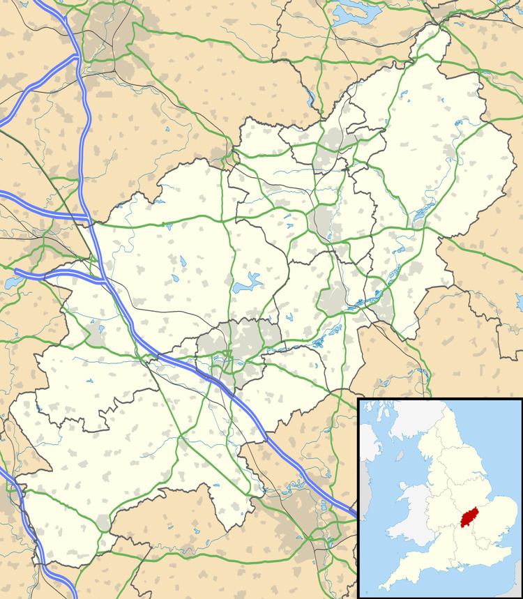
Map of West Farndon, Daventry, UK
Archaeology and history
Sherds of second- and third-century Roman pottery have been found west of the present hamlet, indicating the site of a Roman settlement.
The Domesday Book of 1086 records two small manors at West Farndon. Surviving earthworks east and south of the present hamlet show the extent of the former village. In 1760 an inclosure act ended Hinton's open field system of farming, and by 1840 much of the former village was deserted. Much of the ridge and furrow pattern of the common fields is still visible.
Amenities
The Jurassic Way long distance footpath passes through West Farndon.
References
West Farndon Wikipedia(Text) CC BY-SA