
Established 1971 Postal code 6304 | Postcode(s) 6304 Elevation 281 m Local time Saturday 6:19 AM | |
 | ||
Weather 12°C, Wind E at 16 km/h, 81% Humidity | ||
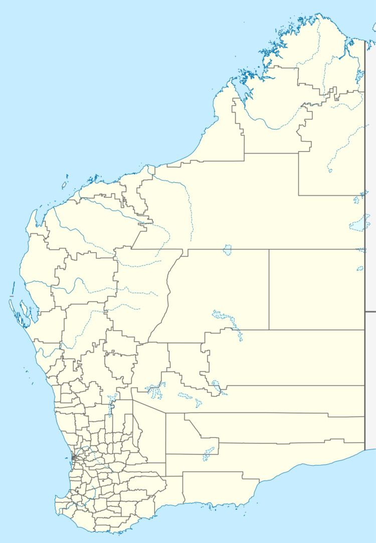
Westdale or West Dale is a small town located just off the Beverley-Westdale road 93 km from Perth in the Wheatbelt region of Western Australia.
Map of Westdale WA 6304, Australia
The area was settle for farming in the early 1900s and by 1906 the local progress association requested that land be set aside for a townsite. A railway through the area had been considered but did not eventuate so the land remained uninhabited. A school was built in the area in 1967 and the townsite was eventually gazetted in 1971.
The town takes its name from the Dale River, which had been named after Ensign Robert Dale who, in 1831, was the first European to discover the river.
References
West Dale, Western Australia Wikipedia(Text) CC BY-SA