
Postcode(s) 5024 State electorate(s) Morphett Population 4,332 (2006 census) | Postal code 5024 | |
 | ||
West Beach is a seaside suburb of Adelaide, South Australia. It is located in both the City of Charles Sturt and the City of West Torrens.
Contents
- Map of West Beach SA 5024 Australia
- History
- Demographics
- Community
- Attractions
- Shopping and dining
- Parks
- Roads
- Public transport
- Airport
- References
Map of West Beach SA 5024, Australia
History
West Beach was first laid out in 1929 by Sir John L. Stirling, Sir Frank Moulden and Arnold M. Moulden, as trustees of 'The Settled Estates of F.J. and P.J. Gray'.
This estate which in future will be known as "West Beach" at present consists of high undulating sandhills. The party inspected the work accomplished. This comprised the continuance to the sea, the distance of about a mile, of the Richmond Road, which previously stopped at the Tapley's Hill Road; the grading and topdressing of the sandhills, involving the removal of 200,000 tons of sand, and the building of an esplanade and three roads connecting it with Military Road, which was raised 8 feet and remade. The whole of the work was carried out under the order of the Supreme Court and the town was laid out under the approval of the town planner (Mr W. Scott Griffiths)....West Beach Post Office opened on 5 May 1959 and closed in March 1982. In July 1982 West Beach North office (open since 1964) was renamed West Beach.
Demographics
The 2006 Census by the Australian Bureau of Statistics counted 4,332 persons in West Beach on census night. Of these, 50.0% were male and 50.0% were female.
The majority of residents (74.0%) are of Australian birth, with the other common census response being England (5.4%).
The age distribution of West Beach residents is skewed towards a slightly higher age bracket than the greater Australian population. 73.6% of residents were over 25 years in 2006, compared to the Australian average of 66.5%; and 26.4% were younger than 25 years, compared to the Australian average of 33.5%.
Community
The local newspaper is the Weekly Times Messenger. Other regional and national newspapers such as The Advertiser and The Australian are also available. The suburb has a local school known as West Beach Primary School.
Attractions
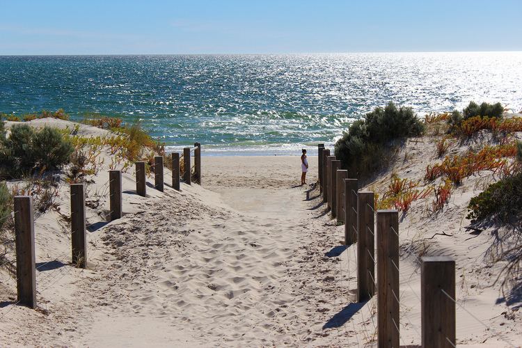
West Beach's white sands, coastal flora and wetlands are notable features. The beach is generally popular in summer.
Shopping and dining
The shopping centre on Burbridge Road services the suburb, and includes
The cafe, pizzeria and fish and chip shop on West Beach Road services the local community as well as beachgoers.
Parks
There are numerous parks and greenspaces throughout West Beach, the largest known as Apex Park. Apex Park is a huge park along the river torrens with playgrounds, horses and walkways.
Roads
The suburb is serviced by the following main road:
Public transport
The suburb is serviced by bus routes, run by the Adelaide Metro.
Airport
Adelaide Airport is in the adjacent suburb also named Adelaide Airport. It was moved here from Parafield Airport in 1955. There are frequent domestic and international flights and the airport is also used for private aviation.