| ||
Wessenden valley marsden drone 17 mar 16 6
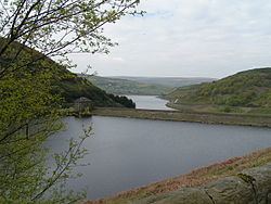
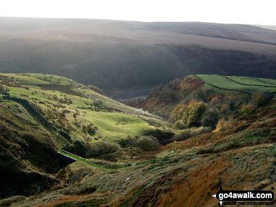
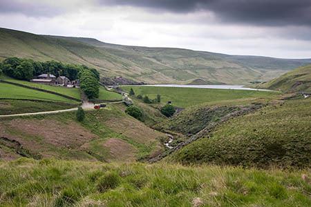
The Wessenden Valley is a moorland valley nestled amidst the Dark Peak, immediately south of the large village of Marsden in the English county of West Yorkshire. The valley was formed by retreating glaciers at the end of the last ice age, and continues to be cut by the Wessenden Brook, a tributary of the River Colne with a catchment area of 6.28 square miles (16.27 km2).
Contents
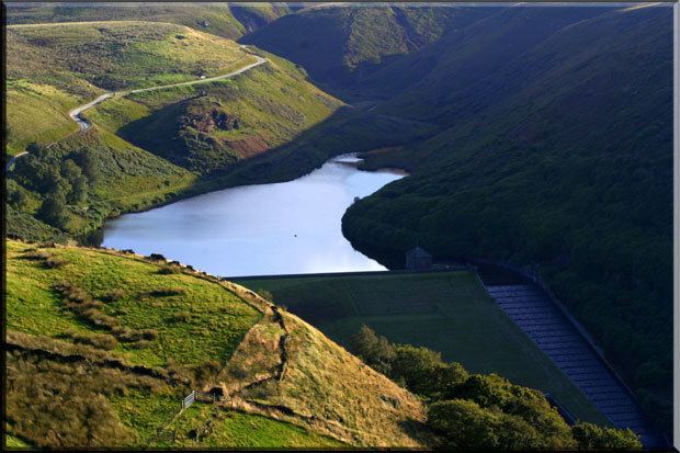
The valley is occupied by four reservoirs, namely (from the top) Wessenden Head, Wessenden, Blakeley and Butterley reservoirs, the last being the largest. The Kirklees Way and Pennine Way long-distance footpaths both follow the valley. The upper part of the valley near Wessenden Head is managed by the National Trust as part of their 5,000 acres (2,000 ha) Marsden Moor Estate.

The reservoir at Butterley has a spillway which is a Grade II Listed structure; the only one of its kind in England.

The name Wessenden derives from Old English and means the 'valley with rock suitable for whetstones'.
Wessenden valley marsden drone 17 mar 16 5