
Time zone CET/CEST (UTC+1/+2) Area 53.78 km² Local time Monday 6:22 AM | Elevation 99 m (325 ft) Postal codes 30974 Population 14,156 (31 Dec 2008) Postal code 30974 | |
 | ||
Weather 11°C, Wind SW at 14 km/h, 68% Humidity | ||
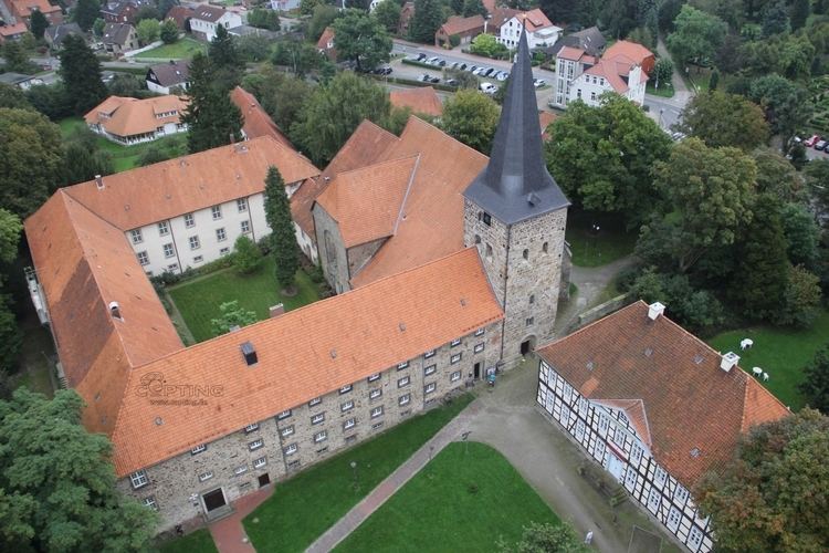
Wennigsen is a municipality in the district of Hanover, in Lower Saxony, Germany. It is situated near the Deister hills, approx. 15 km southwest of Hanover.
Contents
Map of 30974 Wennigsen, Germany
Geography
Wennigsen borders on (from north and clockwise) Gehrden, Ronnenberg, Springe and Barsinghausen. The highest elevation is the Bröhn, the highests hill of the Deister with 405 meters.
History
The founding date of Wennigsen is unknown. It possibly dates back to 5th to 8th century. The first dated occurrence (1199 to 1206) is a copy of a certificate from bishop Hartbert of Hildesheim. At this time there was a settlement of Bernhard, earl of Poppenburg, in Wennigsen. He had three roses each with five leaves in his coat of arms. Today Wennigsen bears one of them in its coat of arms.
During the Thirty Years' War Wennigsen was near to be completely destroyed.
Duke George William of Hanover (later of Brunswick-Lüneburg) split the Großvogtei Calenberg and founded a new Amt Calenberg in which Wennigsen became court place. The Magistrates' Court of Wennigsen still exists.