
Country Austria District Grieskirchen Vehicle registration GR Area 12.9 km² Local time Monday 5:50 AM Area code 07736 | State Upper Austria Time zone CET (UTC+1) Elevation 400 m Postal code 4741 Population 806 (1 Apr 2009) | |
 | ||
Website www.tiscover.at/wendling Weather 4°C, Wind SW at 2 km/h, 96% Humidity | ||
Wendling is a municipality in the district of Grieskirchen in the Austrian state of Upper Austria.
Contents
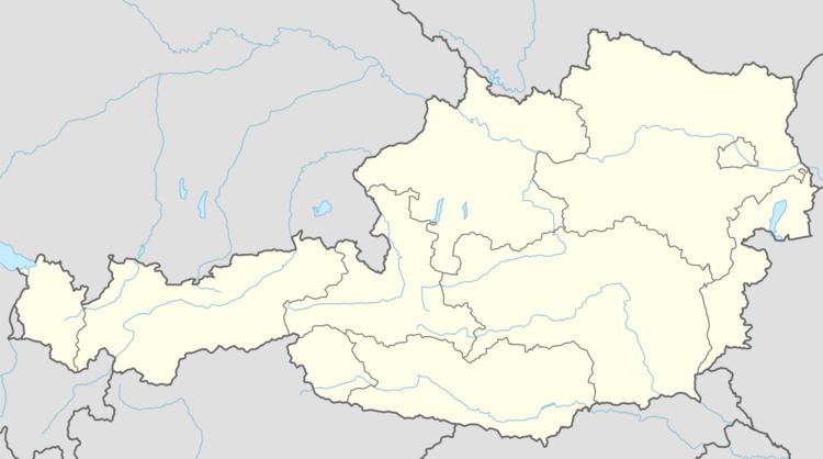
Map of Wendling, Austria
Geography
Wendling lies in the Hausruckviertel. About 9 percent of the municipality is forest, and 79 percent is farmland.
References
Wendling Wikipedia(Text) CC BY-SA