
Country United States FIPS code 27-69142 Elevation 349 m Zip code 56590 Population 167 (2013) | Time zone Central (CST) (UTC-6) GNIS feature ID 0653909 Area 2.72 km² Local time Sunday 10:43 PM Area code 218 | |
 | ||
Weather 5°C, Wind W at 21 km/h, 87% Humidity | ||
Wendell is a city in Grant County, Minnesota, United States. The population was 167 at the 2010 census.
Contents
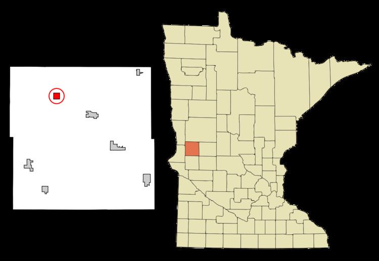
Map of Wendell, MN, USA
History
Wendell was platted in 1889 when the railroad was extended to that point. A post office has been in operation at Wendell since 1887.
Geography
According to the United States Census Bureau, the city has a total area of 1.05 square miles (2.72 km2), all of it land.
Minnesota State Highway 55 serves as a main route in the community.
2010 census
As of the census of 2010, there were 167 people, 76 households, and 52 families residing in the city. The population density was 159.0 inhabitants per square mile (61.4/km2). There were 87 housing units at an average density of 82.9 per square mile (32.0/km2). The racial makeup of the city was 100.0% White. Hispanic or Latino of any race were 0.6% of the population.
There were 76 households of which 22.4% had children under the age of 18 living with them, 53.9% were married couples living together, 9.2% had a female householder with no husband present, 5.3% had a male householder with no wife present, and 31.6% were non-families. 28.9% of all households were made up of individuals and 14.4% had someone living alone who was 65 years of age or older. The average household size was 2.20 and the average family size was 2.58.
The median age in the city was 50.2 years. 15% of residents were under the age of 18; 11.4% were between the ages of 18 and 24; 18% were from 25 to 44; 28.2% were from 45 to 64; and 27.5% were 65 years of age or older. The gender makeup of the city was 52.7% male and 47.3% female.
2000 census
As of the census of 2000, there were 177 people, 77 households, and 50 families residing in the city. The population density was 168.3 people per square mile (65.1/km²). There were 84 housing units at an average density of 79.9 per square mile (30.9/km²). The racial makeup of the city was 100.00% White.
There were 77 households out of which 27.3% had children under the age of 18 living with them, 51.9% were married couples living together, 7.8% had a female householder with no husband present, and 33.8% were non-families. 28.6% of all households were made up of individuals and 15.6% had someone living alone who was 65 years of age or older. The average household size was 2.30 and the average family size was 2.82.
In the city, the population was spread out with 22.6% under the age of 18, 8.5% from 18 to 24, 25.4% from 25 to 44, 19.2% from 45 to 64, and 24.3% who were 65 years of age or older. The median age was 42 years. For every 100 females there were 92.4 males. For every 100 females age 18 and over, there were 93.0 males.
The median income for a household in the city was $35,625, and the median income for a family was $39,375. Males had a median income of $30,938 versus $18,750 for females. The per capita income for the city was $16,413. None of the families and 2.6% of the population were living below the poverty line, including no under eighteens and 8.7% of those over 64.