
Country United States Incorporated 1781 Elevation 355 m Population 848 (2010) | Settled 1754 Time zone Eastern (UTC-5) Zip code 01379 | |
 | ||
Weather 8°C, Wind SW at 3 km/h, 59% Humidity | ||
Wendell is a town in Franklin County, Massachusetts, United States. The population was 848 at the 2010 census. It is part of the Springfield, Massachusetts Metropolitan Statistical Area.
Contents
Map of Wendell, MA, USA
History
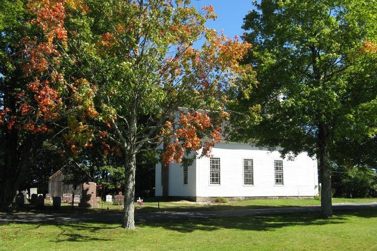
Wendell was first settled in 1754 and was officially incorporated in 1781. It was named after Judge Oliver Wendell of Boston. The town center has been listed as a historic district on the National Register of Historic Places.
On July 11, 2006, a strong F2 tornado moved through town, starting near Wickett Pond, traveling about 2.9 miles (4.7 km), and ending about a half mile east of New Salem Road. The path varied in width from 100 to 300 yards (91 to 274 m). The tornado knocked down trees, including an old maple tree, whose falling damaged gravestones in a historic cemetery in Wendell Center. While trees were downed and some structures damaged, no one was injured.
Geography
According to the United States Census Bureau, the town has a total area of 32.2 square miles (83.4 km2), of which 31.9 square miles (82.5 km2) is land and 0.39 square miles (1.0 km2), or 1.15%, is water.
The town has two post offices. One (zip code 01379) is located approximately one mile south of the town center on Lockes Village Road, the other is listed as "Wendell Depot" (zip code 01380) -- near the location of the old train station in the days of passenger rail -- and the town is often listed as such on maps.
Wendell State Forest
Located south of the Millers River, Wendell State Forest covers 7,566 acres of rolling forested hills, streams, ponds, and trails. Purchased in the 1920s the area had been heavily burned during the early 1900s. Some of the park development and most of the road systems are attributed to Civilian Conservation Corps activities in the 1930s. Ruggles Pond is the main day-use area. This 10 acre pond offers crystal clear water for swimming and fishing. Picnic sites and a ball field with a pavilion are located nearby. There is a small boat launching ramp located at the Northern end of Wickett Pond. The Metacomet-Monadnock Trail traverses the forest boundaries and offers a small Adirondack shelter for trail users.
Events
Demographics
As of the census of 2000, there were 986 people, 378 households, and 224 families residing in the town. The population density was 30.8 people per square mile (11.9/km²). There were 439 housing units at an average density of 13.7 per square mile (5.3/km²). The racial makeup of the town was 92.49% White, 3.45% African American, 0.41% Asian, 1.32% from other races, and 2.33% from two or more races. Hispanic or Latino of any race were 1.42% of the population.
There were 378 households out of which 27.0% had children under the age of 18 living with them, 43.7% were married couples living together, 10.6% had a female householder with no husband present, and 40.5% were non-families. 28.6% of all households were made up of individuals and 3.7% had someone living alone who was 65 years of age or older. The average household size was 2.35 and the average family size was 2.88.
In the town, the population was spread out with 25.7% under the age of 18, 7.3% from 18 to 24, 30.6% from 25 to 44, 31.8% from 45 to 64, and 4.6% who were 65 years of age or older. The median age was 38 years. For every 100 females there were 106.7 males. For every 100 females age 18 and over, there were 102.5 males.
The median income for a household in the town was $43,846, and the median income for a family was $60,147. Males had a median income of $32,639 versus $27,375 for females. The per capita income for the town was $19,701. About 5.8% of families and 10.2% of the population were below the poverty line, including 8.2% of those under age 18 and 17.6% of those age 65 or over.