
District Westerwaldkreis Elevation 415 m (1,362 ft) Area 7.77 km² Population 955 (31 Dec 2008) Dialling code 02608 | Time zone CET/CEST (UTC+1/+2) Local time Monday 4:17 AM Postal code 56412 | |
 | ||
Weather 7°C, Wind SW at 6 km/h, 79% Humidity | ||
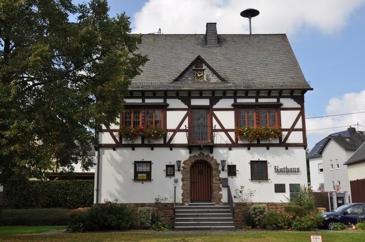
Welschneudorf is an Ortsgemeinde – a community belonging to a Verbandsgemeinde – and a Luftkurort (“air health resort”) in the Westerwaldkreis in Rhineland-Palatinate, Germany.
Contents
Map of Welschneudorf, Germany
Location
The community lies in the Lower Westerwald between Koblenz and Limburg an der Lahn in the Nassau Nature Park. Verbandsgemeinde of Montabaur, a kind of collective municipality. Its seat is in the like-named town.
History
In 1453, Welschneudorf had its first documentary mention as Nudorff. In 1817, it was burnt down by advancing French troops.
Community council
The council is made up of 16 council members who were elected in a majority vote in a municipal election on 13 June 2004.
Transport
The nearest Autobahn interchange is Montabaur on the A 3 (Cologne–Frankfurt), some 11 km away. The nearest InterCityExpress stops are the railway stations at Montabaur on the Cologne-Frankfurt high-speed rail line and Koblenz on the Linke Rheinstrecke.