
Elevation 9,372 ft (2,857 m) Length 28 mi (45 km) N/S | Area 795.1 km² Width 17 mi (27 km) E/W | |
 | ||
Similar Cache Valley, American West Heritage, Hyrum State Park, Bear River, Naomi Peak | ||
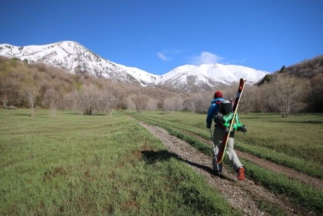
Skiing the wellsville mountains
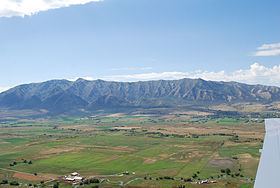
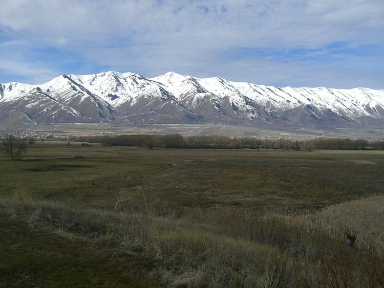
The Wellsville Mountains are located in northern Utah, United States and are often considered part of the Wasatch Mountains. The mountains separate Cache Valley from the Wasatch Front. Nearly all of the water collected by the Wellsville Mountains drains into the Bear River.
Contents
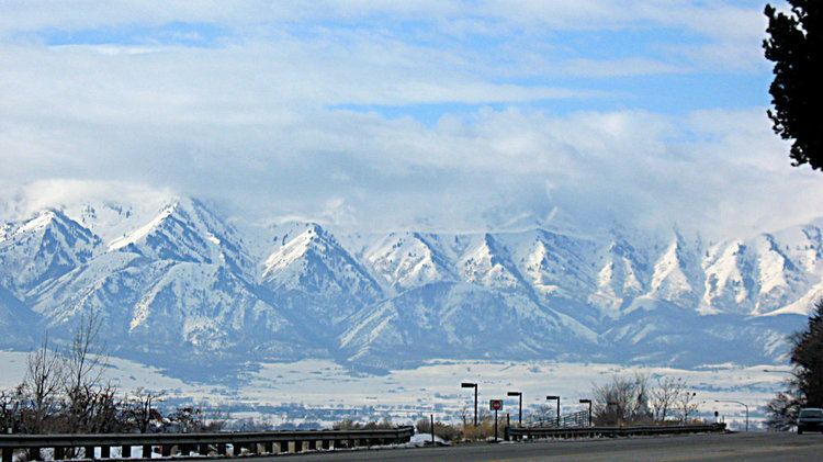
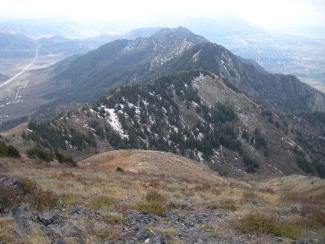
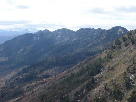
While only moderately tall, they are particularly narrow. For this reason, it is often claimed they are one of the steepest mountain ranges in North America. Box Elder (9,372 ft) and the Wellsville Cone (9,356 ft) are its two highest peaks. US-89/US-91 traverses Box Elder Canyon, Dry Canyon, and Wellsville Canyon, beginning east of Brigham City as a four-lane highway, curving north then northeast and entering Cache Valley at Wellsville.
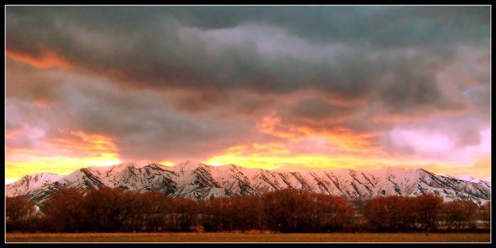
Wellsville mountains in spring
References
Wellsville Mountains Wikipedia(Text) CC BY-SA