
Area rank 71st of 105 Lowest elevation 243 m (797 ft) Area 17.07 km² Lau 2 11011 | Canton Luxembourg Highest elevation 329 m (1,079 ft) Time zone CET (UTC+1) Local time Sunday 11:29 PM | |
 | ||
Weather 11°C, Wind S at 5 km/h, 64% Humidity | ||
Mountainbike trail in luxembourg weiler la tour
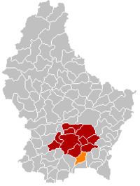
Weiler-la-Tour (Luxembourgish: Weiler zum Tuerm, German: Weiler zum Turm) is a commune and small town in southern Luxembourg. It is located south-east of Luxembourg City. The commune's administrative centre is Hassel.
Contents
Map of Weiler-la-Tour, Luxembourg
As of 2005, the town of Weiler-la-Tour, which lies in the south of the commune, has a population of 477. Other towns within the commune include Hassel and Syren.
References
Weiler-la-Tour Wikipedia(Text) CC BY-SA