
Admin. region Stuttgart Area 12.77 km² Local time Monday 12:40 AM | District Hohenlohekreis Elevation 201 m (659 ft) Population 2,153 (31 Dec 2008) Postal code 74679 | |
 | ||
Weather 9°C, Wind E at 5 km/h, 71% Humidity | ||
Weißbach is a town in the district of Hohenlohe in Baden-Württemberg in Germany.
Contents
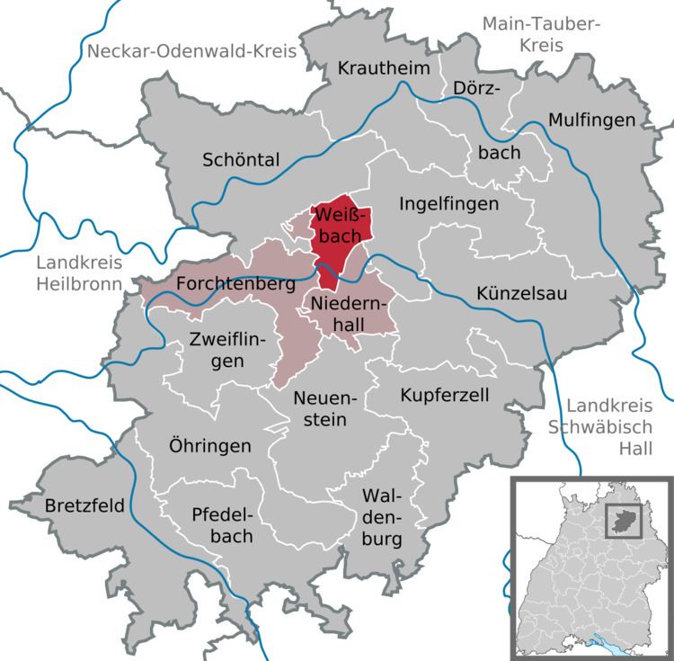
Map of Wei%C3%9Fbach, Germany
Geography
Weißbach is situated in the middle of the Kochertal valley where the Langenbach flows into the Kocher. Its parts stretch from 200 to 430 meters above sea level and it is 10 km west of its district town Künzelsau. It consists of the formerly independent villages Weißbach and Crispenhofen and the two hamlets Halberg and Guthof.
Mayors
Since 1997: Rainer Züfle. He is the successor of Manfred Görke. Züfle was reelected in 2005 and 2013.
Companies
Education
Weißbach has a primary school and two Kindergarten run by the Protestant church and one library.
Sport
Weißbach has a gymnasium and in Crispenhofen there is a tennis court.
References
Weißbach, Baden-Württemberg Wikipedia(Text) CC BY-SA