
Location Landkreis Waldshut Height (thalweg) 37 m Impound Wehra | Construction began 1971–1974 Height (foundation) 50 m Length 235 m | |
 | ||
Similar Eggbergbecken, Erdmanns Cave, Alb, Schluchsee, Wutach Gorge | ||
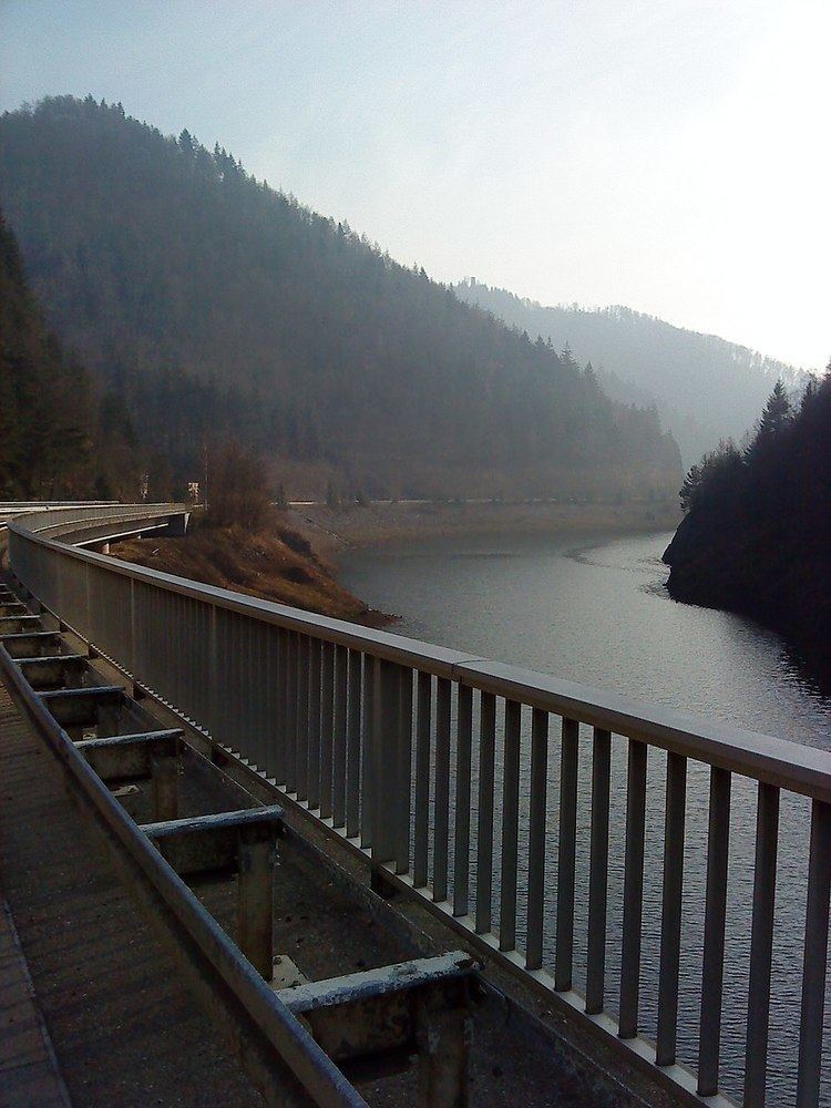
The Wehra Dam (German: Wehratalsperre) is a dam which impounds the River Wehra near Wehr in the county of Waldshut in the German state of Baden-Württemberg. Its reservoir forms the lower basin of the Hornberg stage (Wehr Power Station) and it is thus part of the Schluchsee Works (Schluchseewerk). The upper basin of the pumped-storage power station is the Hornberg Basin; the underground 'cavern' with its power station lies inside the mountain about half way between the two basins.
Contents
Map of Wehra-Staudamm, 79664 Wehr, Germany
LiteratureEdit
References
Wehra Dam Wikipedia(Text) CC BY-SA