Elevation 248 m | Time zone GMT | |
 | ||
Wegbe Kpalime is a village located in the South Dayi District of the Volta Region of Ghana.
Contents
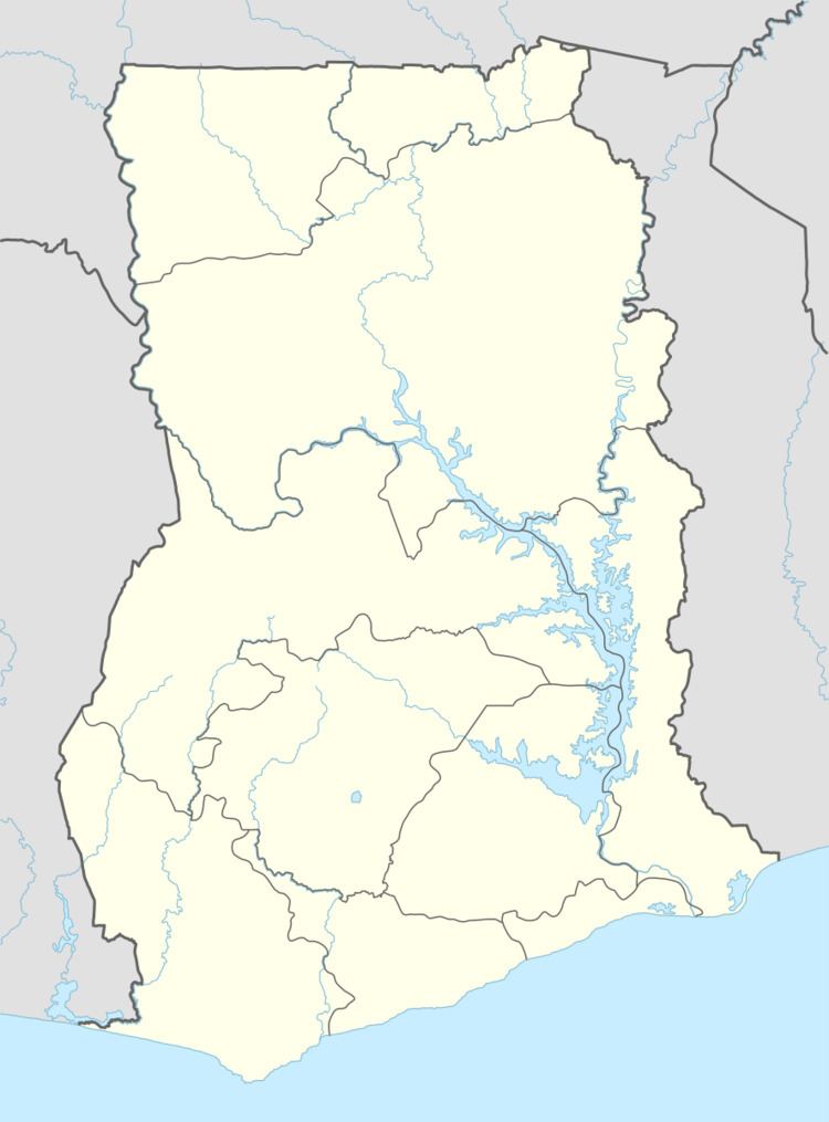
Map of Wegbe Kpalime, Ghana
Location
The nearest villages to Wegbe include Bame, which is about 1.3 kilometres to the northeast. Akrofu is about 4.5 kilometres to the southeast and Avenui, 5.7 kilometres to the south. Ho, the regional capital, is about 15 kilometres southeast of Wegbe but about 25 kilometres by road.
History
The people of the Kpalime Traditional Area are believed to have migrated to their present locations from Notsie in Togo. This was to escape the tyranny of Togbe Agorkorli, the king of Notsie. One large group migrated to the coast. The second group includes the people of Wegbe, Kpeve and Klefe among others who settled in the Volta midlands.
People
The indigenous population are the Ewe. Wegbe Kpalime is one of the main villages in the Kpalime Traditional Area. They are related to the other Kpalime towns which include Kpale, Todome, Tsatee, Hiama, Kaira, Toh and Duga. Duga is the main village of the Kpalime Traditional Area.
The inhabitants of Wegbe celebrate the annual Kpalikpakpaza or Kpalikpakpa festival around December each year. This is to commemorate the valour of their ancestors during their migration from Notsie in Togo. This festival was only instituted in 1997. The main celebration rotates between the various villages annually.
Administration
Wegbe Kpalime is ruled by a king or Fiaga. The current Fiaga is Silas Wiah. His official title is Togbe Wiah Kwasi II. His rule started in May 2010. Wegbe Kpalime is within the South Dayi District with capital at Kpeve. The district administration which is based there is headed by a District Chief Executive. This is currently Kafui Bekui.
