
Postcode(s) 2582 Population 275 (2011 census) | Elevation 617 m (2,024 ft) County Buccleuch Federal Division(s) Hume Postal code 2582 | |
 | ||
Weather 7°C, Wind NW at 14 km/h, 99% Humidity Points of interest Carey's Cave, Burrinjuck Dam, Billy Grace Reserve | ||
Yowie sighting audio report 04 at wee jasper new south wales
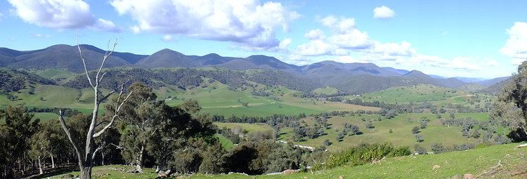
Wee Jasper is a village in the Goodradigbee valley at the western foot of the Brindabella Ranges, near Burrinjuck Dam in New South Wales, Australia in Yass Valley Shire. It is located 80 km north-west of Canberra and 54 km south-west of Yass. At the 2011 census, Wee Jasper and the surrounding area had a population of 275.
Contents
- Yowie sighting audio report 04 at wee jasper new south wales
- Map of Wee Jasper NSW 2582 Australia
- Yowie sighting audio report 15 between yass wee jasper new south wales
- History and description
- References
Map of Wee Jasper NSW 2582, Australia
Yowie sighting audio report 15 between yass wee jasper new south wales
History and description
Wee Jasper Post Office was first opened in January 1886 and closed in March 1892. Three years later, it was reopened again and remained in service until 1994.
Near the village are several camping and recreation reserves close to numerous caves. The best known cave is Carey's Cave, a system of seven caverns lying just north of the town. Others lie to the north and south, including Dip, Dogleg, Punch-bowl and Signature Caves.
Fossils, including members of the Acanthothoracid placoderm fish family Weejasperaspididae, the primitive placoderm Brindabellaspis stensioi and the prehistoric lungfish, Dipnorhynchus cathlesae, have been found in the area.