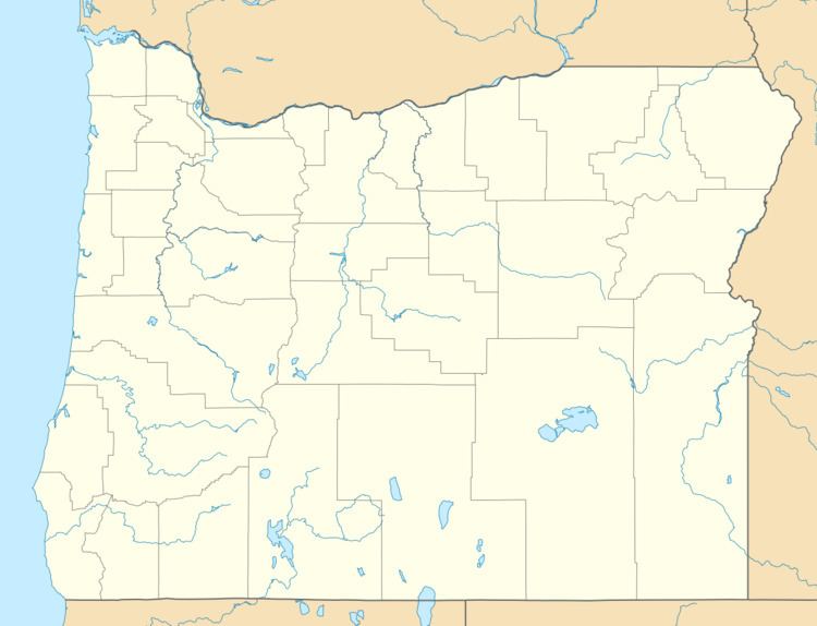
Country United States Time zone Pacific (PST) (UTC-8) Local time Sunday 10:12 AM | Elevation 39 ft (12 m) GNIS feature ID 1151991 | |
 | ||
Weather 10°C, Wind S at 26 km/h, 70% Humidity | ||
Wedderburn is an unincorporated coastal community in Curry County, Oregon, United States. It is across the mouth of Rogue River from Gold Beach, on U.S. Route 101. The Isaac Lee Patterson Bridge connects Wedderburn with Gold Beach.
Contents
Map of Wedderburn, OR 97444, USA
Wedderburn was founded by R. D. Hume, a prominent local businessman in the fishing industry, who named the community after the home of his ancestors, Wedderburn Castle in Scotland. Wedderburn post office was established in 1895.
Wedderburn was originally a company town for Hume's salmon fishing monopoly, and besides his fishing fleet, he ran Wedderburn's cannery, store, race track and cold storage plant. Hume had settled at the mouth of the Rogue in 1876, and he eventually owned all the land on both banks of the river from the Pacific Ocean to the head of the tidewater.
Climate
This region experiences warm (but not hot) and dry summers, with no average monthly temperatures above 71.6 °F (22.0 °C). According to the Köppen Climate Classification system, Wedderburn has a warm-summer Mediterranean climate, abbreviated "Csb" on climate maps.
