
Time zone CST (UTC-6) Elevation 206 m Local time Sunday 11:27 AM | Established November 2, 1858 ZIP codes 61745, 61777, 61778 Area 63.17 km² Population 713 (2010) | |
 | ||
Weather 20°C, Wind S at 35 km/h, 58% Humidity | ||
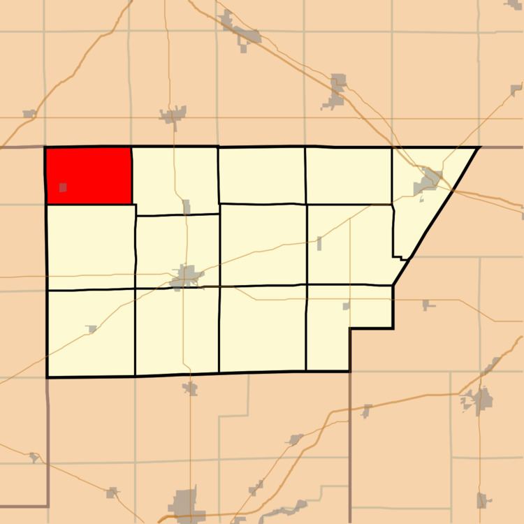
Waynesville Township is one of thirteen townships in DeWitt County, Illinois, USA. As of the 2010 census, its population was 713 and it contained 318 housing units.
Contents
- Map of Waynesville Township IL USA
- Geography
- Cities towns villages
- Cemeteries
- Airports and landing strips
- School districts
- Political districts
- References
Map of Waynesville Township, IL, USA
Geography
According to the 2010 census, the township has a total area of 24.39 square miles (63.2 km2), all land.
Cities, towns, villages
Cemeteries
The township contains these six cemeteries: Big Grove, Evergreen, Fairview, Halsey, Rock Creek and Union.
Airports and landing strips
School districts
Political districts
References
Waynesville Township, DeWitt County, Illinois Wikipedia(Text) CC BY-SA