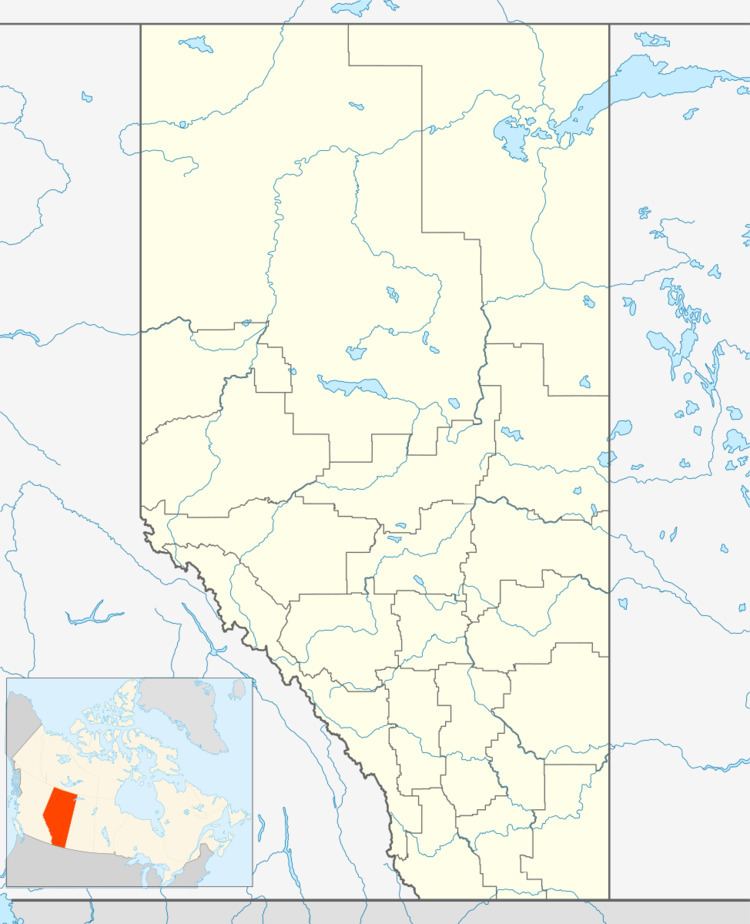
Country Canada Elevation 695 m | Census division No. 5 Time zone MST (UTC-7) Local time Sunday 10:21 AM Mayor Terry Yemen | |
 | ||
Weather 3°C, Wind N at 5 km/h, 72% Humidity | ||
Wayne alberta rosedeer hotel bainto fb video files
Wayne is a community within the Town of Drumheller, Alberta, Canada. It was previously a hamlet within the former Municipal District (MD) of Badlands No. 7 prior to the MD's amalgamation with the former City of Drumheller on January 1, 1998.
Contents
- Wayne alberta rosedeer hotel bainto fb video files
- Map of Wayne Drumheller AB Canada
- Wayne alberta rosedeer mine bainto fb video files
- Attractions
- References
Map of Wayne, Drumheller, AB, Canada
Wayne is located approximately 10 km (6.2 mi) southeast of Drumheller's main townsite and 104 km (65 mi) northeast of Calgary. It lies in the Rosebud River valley and has an elevation of 695 m (2,280 ft). It is accessed via Highway 10X from Rosedale to the north through a 150 m (490 ft) deep canyon in the badlands, across 11 bridges that span the Rosebud River.
Wayne is within Census Division No. 5 and in the federal riding of Crowfoot.
Wayne alberta rosedeer mine bainto fb video files
Attractions
Wayne was the site of several coal mines that were closed in the 1950s. It is host to a few historic sites, including the Rosedeer Hotel.
