Area code(s) +48 22 Area 79.71 km² | Time zone CET (UTC+1) Website wawer.warszawa.pl | |
 | ||
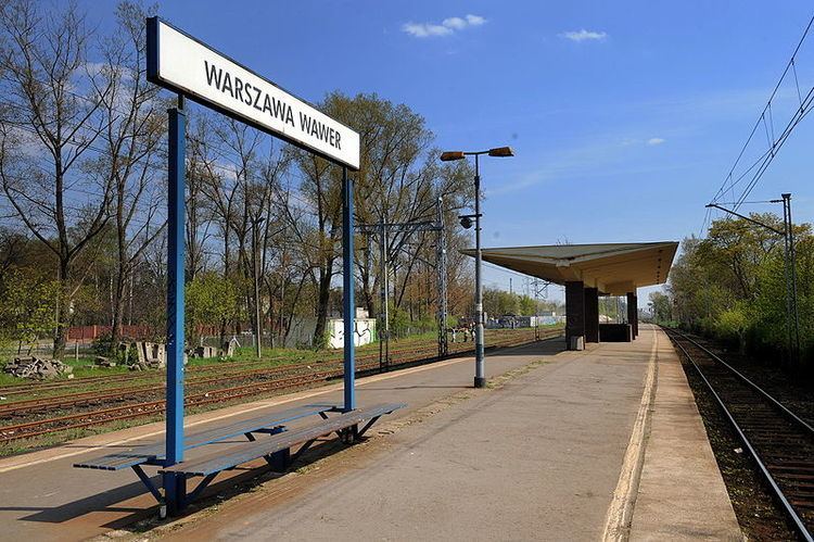
Wawer [ˈvavɛr] is one of the districts of Warsaw, located in the south-eastern part of the city. The Vistula river runs along its western border. Wawer became a district of Warsaw on October 27, 2002 (previously it was a part of Praga Południe district, and a municipality earlier).
Contents
Map of Wawer, Warsaw, Poland
Wawer borders Praga Południe and Rembertów from the north, Wesoła from the east and Wilanów with Mokotów from the west (across the Vistula).
Boroughs
History
In 1939, the Wawer massacre occurred here.
References
Wawer Wikipedia(Text) CC BY-SA
