
Sovereign state United Kingdom Admin HQ Lowestoft Time zone GMT (UTC0) Non-metropolitan county Suffolk Area rank 111th (of 326) | Region East of England Incorporated 1 April 1974 Area 370.4 km² Constituent country England University Lowestoft College | |
 | ||
Status Non-metropolitan district Points of interest The Broads, Somerleyton Hall, Norfolk and Suffolk Aviation, Africa Alive!, East Anglia Transport Museum Destinations The Broads, Southwold, Lowestoft, Beccles, Bungay | ||
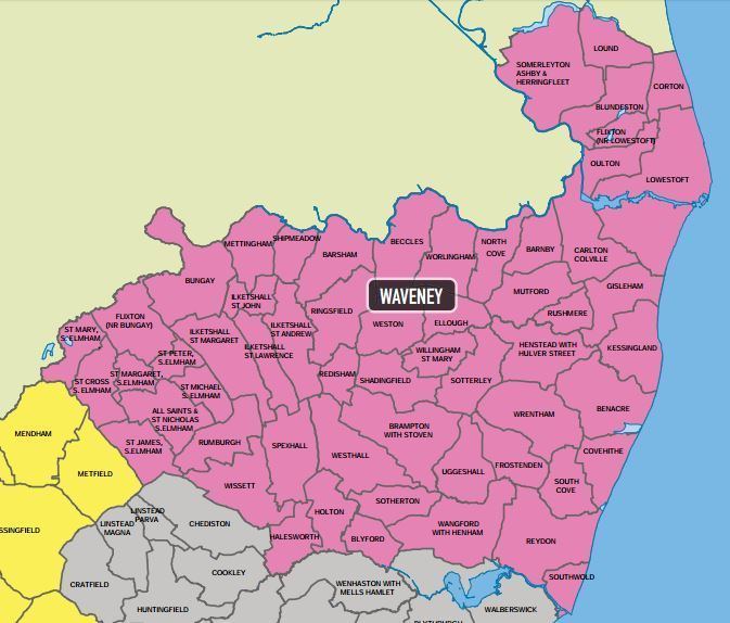
Waveney is a local government district in Suffolk, England, named after the River Waveney that forms its north-west border. The district council is based in Lowestoft, the major settlement in Waveney, which is the only unparished area in the district. The other towns in the district are Beccles, Bungay, Halesworth and Southwold.
Contents
Map of Waveney District, UK
The district was formed on 1 April 1974, under the Local Government Act 1972, as a merger of the municipal boroughs of Beccles, Lowestoft and Southwold, along with Bungay and Halesworth urban districts, Wainford Rural District and part of Lothingland Rural District. The population of the Council at the 2011 Census was 115,254. The last elections to the council were held on 7 May 2015, the second election after the council moved to a Whole Council election system meaning all 48 council seats were contested. Before the 2011 elections the council was under Conservative Party control.
At the 2011 election the Conservatives had lost overall control, with both it and the Labour party represented by 23 councillors, the balance of the council being made up of one Green Party and one Independent councillor. A series of procedural moves led to the formation of a Conservative-led administration. At the 2015 election the Conservatives won an absolute majority, with 27 seats, with Labour winning 20 and the Green Party 1.
List of communities
Outside of Lowestoft there are 58 towns and civil parishes in Waveney: