
Founded 1852 Area 1,650 km² | Website www.co.waushara.wi.us Population 24,329 (2013) | |
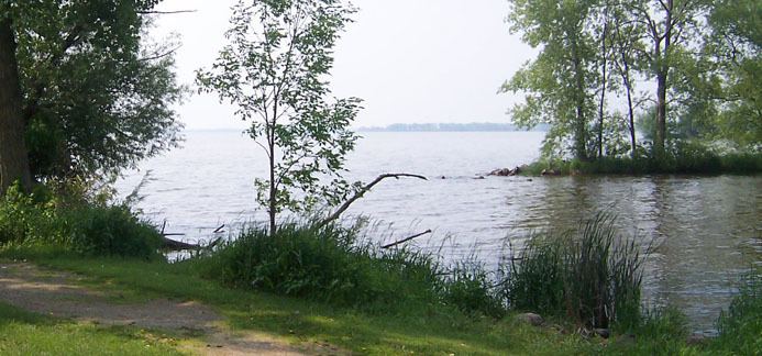 | ||
Rivers Big Roche a Cri Creek, Mecan River, Fox River Points of interest Nordic Mountain, Bird Creek park, Roseville Mini‑Golf & Shops, Greenwood State Wildlife R | ||
Waushara County is a county located in the U.S. state of Wisconsin. As of the 2010 census, the population was 24,496. Its county seat is Wautoma.
Contents
- Map of Waushara County WI USA
- History
- Geography
- Major highways
- Airport
- Adjacent counties
- Demographics
- Cities
- Villages
- Census designated places
- Ghost towns
- References
Map of Waushara County, WI, USA
Waushara County is located in central Wisconsin, about 80 miles (130 km) north of Madison.
History
Waushara County was established by an act of the Wisconsin Legislature on February 15, 1851. It originally consisted of a single organized Town of Waushara. In 1852 the county achieved full organization. The county seat was first located at Sacramento and was relocated to Wautoma in 1854 after a bitter fight between proponents of the two places. The name is of Native American origin and is believed to mean "good land".
Geography
According to the U.S. Census Bureau, the county has a total area of 637 square miles (1,650 km2), of which 626 square miles (1,620 km2) is land and 11 square miles (28 km2) (1.8%) is water.
Major highways
Airport
Wautoma Municipal Airport (FAA LID: Y50) serves Waushara County and the surrounding communities.
Adjacent counties
Demographics
As of the census of 2000, there were 23,154 people, 9,336 households, and 6,581 families residing in the county. The population density was 37 people per square mile (14/km²). There were 13,667 housing units at an average density of 22 per square mile (8/km²). The racial makeup of the county was 96.80% White, 0.27% Black or African American, 0.31% Native American, 0.35% Asian, 0.03% Pacific Islander, 1.36% from other races, and 0.89% from two or more races. 3.66% of the population were Hispanic or Latino of any race. 47.5% were of German, 9.1% Polish, 5.9% Irish, 5.7% American and 5.6% English ancestry according to Census 2000. 94.5% spoke English, 3.4% Spanish and 1.4% German as their first language.
There were 9,336 households out of which 27.60% had children under the age of 18 living with them, 60.00% were married couples living together, 6.70% had a female householder with no husband present, and 29.50% were non-families. 24.90% of all households were made up of individuals and 11.90% had someone living alone who was 65 years of age or older. The average household size was 2.43 and the average family size was 2.89.
In the county, the population was spread out with 23.50% under the age of 18, 6.00% from 18 to 24, 24.90% from 25 to 44, 26.30% from 45 to 64, and 19.20% who were 65 years of age or older. The median age was 42 years. For every 100 females there were 101.60 males. For every 100 females age 18 and over, there were 98.80 males.