Airport type Public Elevation AMSL 912 ft / 278 m 10/28 5,849 Code UES Phone +1 262-521-5249 | Location Waukesha, Wisconsin Website www.CritesField.com 5,849 1,783 Elevation 278 m | |
 | ||
Address 2525 Aviation Rd, Waukesha, WI 53188, USA Owner/operator Waukesha County, Wisconsin Profiles | ||
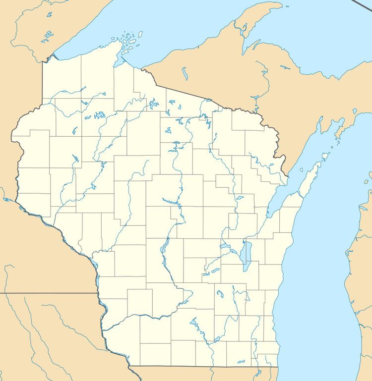
Waukesha County International Airport (IATA: UES, ICAO: KUES, FAA LID: UES), also known as Greater Milwaukee Airport, is a public use airport located two miles (3 km) north of the central business district of Waukesha, a city in Waukesha County, Wisconsin, United States. It is owned and operated by Waukesha County. It is included in the Federal Aviation Administration (FAA) National Plan of Integrated Airport Systems for 2017–2021, in which it is categorized as a national reliever aviation facility.
Contents
Flight for Life-Wisconsin announced in October 2007 that it will move its operations to this airport in the summer of 2008.
Waukesha county airport airfield inspection
Facilities and aircraft
Waukesha County International Airport covers an area of 543 acres (220 ha) and contains two runways: 10/28 with a concrete pavement measuring 5,849 x 100 ft (1,783 x 30 m) and 18/36 with an asphalt surface measuring 3,599 x 75 ft (1,097 x 23 m).
For the 12-month period ending December 31, 2014, the airport had 41,711 aircraft operations, an average of 114 per day: 92% general aviation, 7% air taxi and less than 1% military. In March 2017, there were 170 aircraft based at this airport: 135 single-engine, 18 multi-engine, 16 jet and 1 glider.
