Population 844 (2006 census) | Postcode(s) 6166 Postal code 6166 | |
 | ||
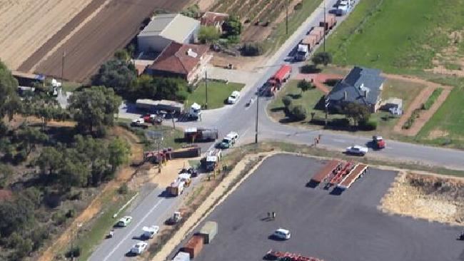
Wattleup is a southern suburb of Perth, Western Australia, located within the City of Cockburn. As of 2001, it has been part of the Hope Valley-Wattleup development program, which has meant the demolition of most of the houses in the area for future industry. Wattleup had many market gardens in the past. They provided agricultural produce for the town of Fremantle.
Map of Wattleup WA 6166, Australia
References
Wattleup, Western Australia Wikipedia(Text) CC BY-SA
