
- Watoga State Forest January 1925 NRHP Reference # 10001227 Phone +1 304-799-4087 | - Opened July 1, 1937 Area 41.56 km² Added to NRHP 4 February 2011 | |
 | ||
Location HC 82 (9 miles southwest of WV 39), near Marlinton, West Virginia Address Monongahela National Forest, 4800 Watoga Park Rd, Marlinton, WV 24954, USA Similar West Virginia, Beartown State Park, Droop Mountain Battlefield, Cass Scenic Railroad, Douthat State Park | ||
Drive into watoga state park fall 2015
Watoga State Park is the largest of West Virginia’s state parks, covering slightly over 10,100 acres (41 km2). It is located near Seebert in Pocahontas County, West Virginia.
Contents
- Drive into watoga state park fall 2015
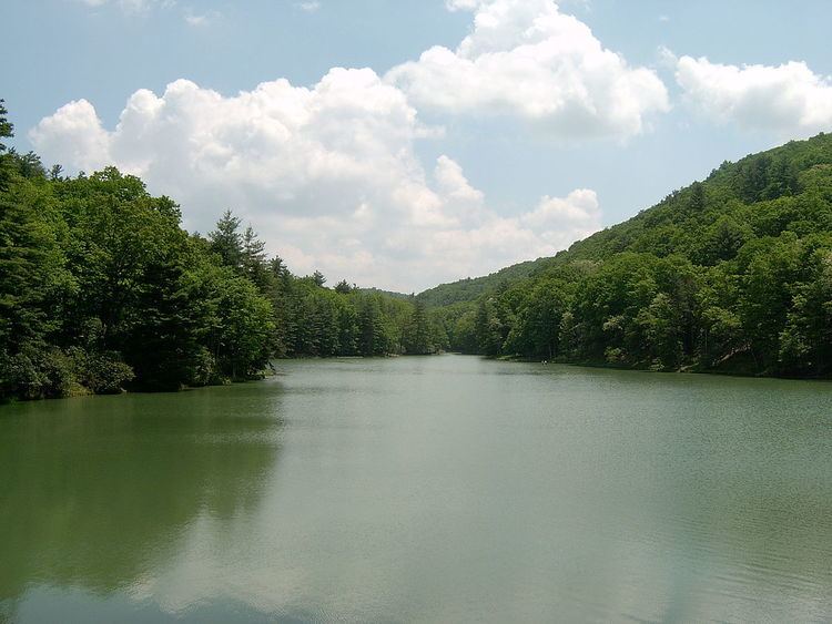
- Watoga state park and greenbrier trail
- HistoryEdit
- FeaturesEdit
- References
Watoga state park and greenbrier trail
HistoryEdit
The land that forms the nucleus of Watoga was originally acquired in January 1925, when the park was initially planned to be a state forest. In May 1934, a decision was made to instead develop the site as a state park. Much of the development on the site was done by the Civilian Conservation Corps (CCC) and the park was first opened on July 1, 1937.
FeaturesEdit
References
Watoga State Park Wikipedia(Text) CC BY-SA