
GNIS feature ID 0184998 Area 70.2 km² Population 653 (2010) | Time zone MST (UTC-7) Elevation 1,684 m Zip code 80137 Local time Sunday 5:57 AM | |
 | ||
Weather 4°C, Wind S at 14 km/h, 71% Humidity | ||
Quail run watkins colorado
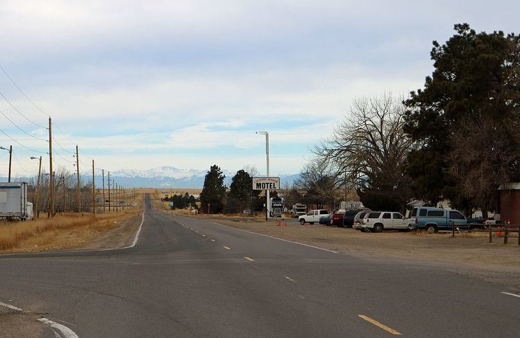
Watkins (also once called Box Elder) is a census-designated place (CDP) in Arapahoe and Adams counties, Colorado, United States, adjacent to the city of Aurora. It was formerly an incorporated town. The post office serving Watkins, which actually lies within the Aurora city limits, has the ZIP Code 80137. As of the 2010 census Watkins had a population of 653.
Contents
Map of Watkins, CO 80137, USA
A post office called Watkins has been in operation since 1878. The community was named after L. A. Watkins, a cattleman. Long an unincorporated community, Watkins incorporated as a town on June 15, 2004. However, on November 7, 2006, the town voted to revert to being an unincorporated community by a margin of 308-184.
Watkins is involved in trying to build the First Park in Adams County, and the Watkins Historical Preservation Society is co-operating with the town on some historical buildings for installation in the park as well. Front Range Airport is located near Watkins.
Geography
Watkins is located at 39°44′42″N 104°36′25″W (39.744946,-104.606838).