
Area 3.15 sq mi (8.2 km) OS grid reference TQ116931 Local time Sunday 12:44 PM | Population 20,250 (2001 Census) Postcode district WD19 | |
 | ||
Weather 23°C, Wind S at 16 km/h, 41% Humidity | ||
Watford Rural is a civil parish in the Three Rivers District of Hertfordshire, England. Located approximately 14 miles (23 km) northwest of central London and adjacent to the Greater London boundary, it is an urbanised parish characterised by suburban residential development. The local council is Watford Rural Parish Council. The parish covers South Oxhey and Carpenders Park, which although part of the Watford urban area, are outside the borough of Watford. The parish was created in 1894 when the ancient Watford parish was split into urban and rural parishes. At the 2001 census it had a population of 20,250.
Contents
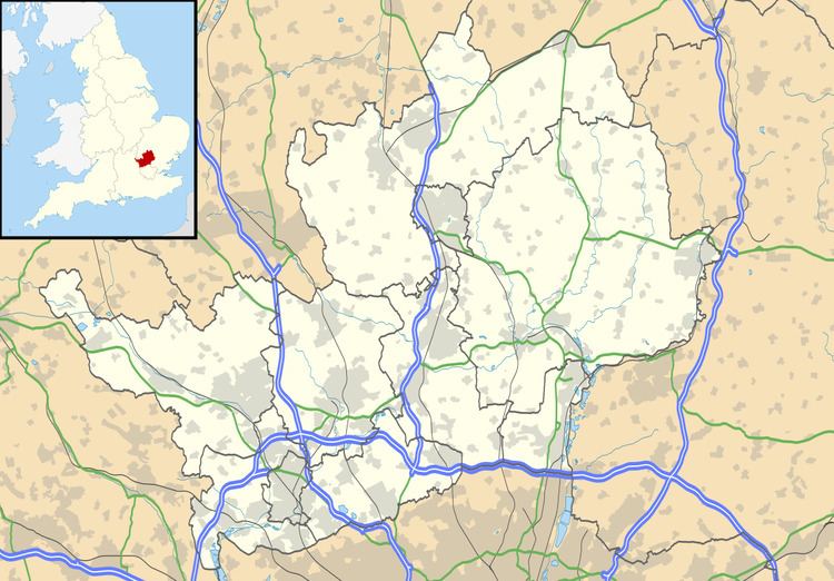
Map of Watford Rural, UK
History
The parish was formed in 1894 from part of the ancient parish of Watford, which was subdivided to form new civil parishes of Watford Rural and Watford Urban. It was part of Watford Rural District from 1894 (which covered a larger area). The parish was part of the review area of the Royal Commission on Local Government in Greater London, however it did not form part of the proposed Greater London area because it was felt the parish and southern Hertfordshire looked to Watford more than to London. It then became part of Three Rivers district in 1974 under the Local Government Act 1972.
Government
The local council is Watford Rural Parish Council. The parish council offices are located on Oxhey Drive. The parish has fourteen councillors. It is divided into the five wards of Ashridge (electing 2 councillors), Carpenders Park (3 councillors), Hayling (3 councillors), Northwick (3 councillors) and Oxhey Hall (3 councillors). The parish clerk is M Fundrey.
Geography
The civil parish is 816 hectares (3.15 sq mi). It is located approximately 14 miles (23 km) northwest of central London and is adjacent to the Greater London boundary to the south. It is predominantly urbanised, with residential development. There is parkland, woodland and some farmland throughout the parish and especially towards the northwest, falling within the Metropolitan Green Belt. The parish includes the settlements of Carpenders Park and South Oxhey. The London—Watford railway line divides the settlements, with Carpenders Park in the east and South Oxhey to the west. For postal addresses, the parish is within the WD19 postcode district of the Watford post town.
Demography
Despite its name it is largely urbanised, with a population of 20,250 according to the 2001 census.