
Airport type Public Elevation AMSL 833 ft / 254 m 4,429 1,350 Elevation 254 m | Owner City of Watertown 5/23 4,429 1,350 Asphalt Phone +1 920-262-0808 | |
 | ||
Address 1741 River Dr, Watertown, WI 53094, USA Similar Watertown City Hall, Watertown Public Swimmin, Sanitation Departme, City of Watertown Recycling, Fort Atkinson Mun Airport | ||
Watertown Municipal Airport (ICAO: KRYV, FAA LID: RYV) is a public use airport located in and owned by the city of Watertown, in Jefferson County, Wisconsin, United States. It is included in the Federal Aviation Administration (FAA) National Plan of Integrated Airport Systems for 2017–2021, in which it is categorized as a regional general aviation facility.
Contents
Although most U.S. airports use the same three-letter location identifier for the FAA and IATA, this airport is assigned RYV by the FAA but has no designation from the IATA.
Watertown Municipal Airport was the site of the first Transponder Landing System in the United States.
Facilities and aircraft
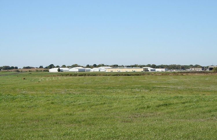
Watertown Municipal Airport covers an area of 360 acres (150 ha) at an elevation of 833 feet (254 m) above mean sea level. It has two runways:
The ROCK RIVER (RYV) non-directional beacon, 371 kHz, is located on the field.
For the 12-month period ending August 26, 2015, the airport had 58,000 aircraft operations, an average of 159 per day: 89% general aviation, 9% air taxi and 2% military. In March 2017, there were 70 aircraft based at this airport: 55 single-engine, 13 multi-engine, 1 jet and 1 helicopter.
Aero park
There is an aero-park, sponsored by the local Marine League, located adjacent to the airport where air operations can be observed. 43°10′27″N 88°43′3″W