
Burr trail waterpocket fold and the burr switchback road
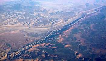
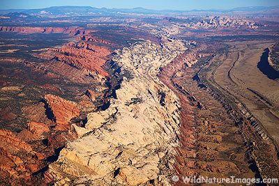
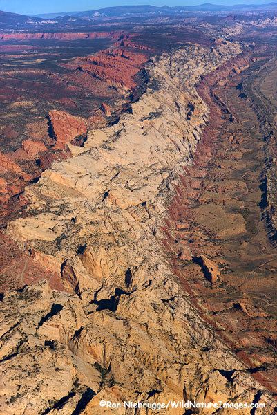
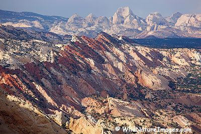
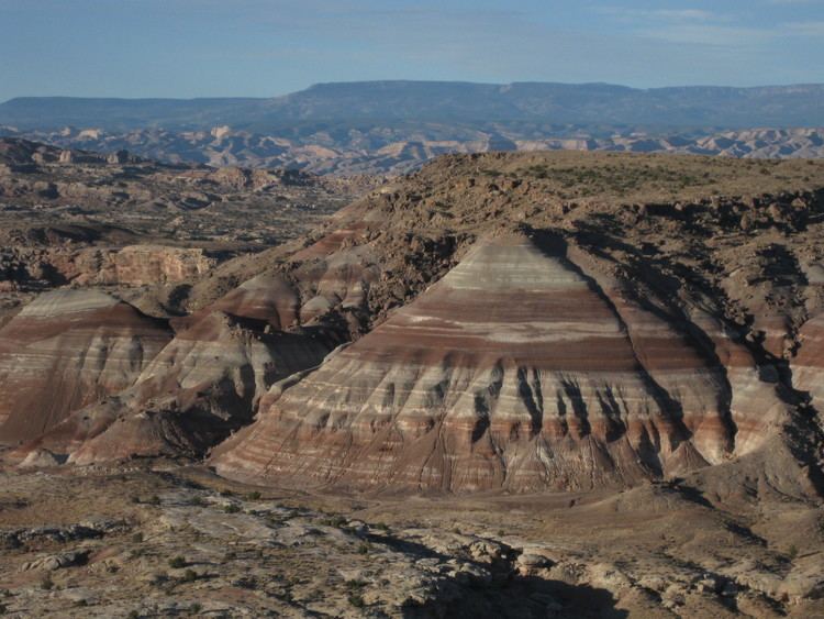
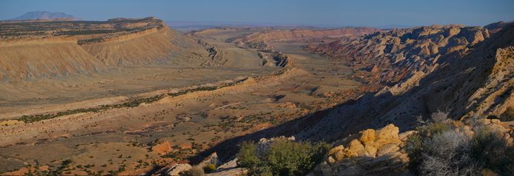
The Waterpocket Fold is a geologic landform that defines Capitol Reef National Park in the southern Utah, United States. This monoclinal fold extends for nearly 100 miles (160 km) in the semi-arid plateau of central part of the state. It can be seen via three scenic routes in the park. One route leads to a famous landmark known as the Golden Throne. This landmark is covered in golden sandstone that gives it its name. The Waterpocket Fold lies east of the town of Torrey, 3 miles (4.8 km) west and just southeast of the Middle Desert. This area is prized for its scenic hiking.
Contents
- Burr trail waterpocket fold and the burr switchback road
- Exploring the west waterpocket fold
- References
Exploring the west waterpocket fold
References
Waterpocket Fold Wikipedia(Text) CC BY-SA