
- location below Samuel Hill Basin area 1,836 km² Basin 1,836 km2 (709 sq mi) | - elevation 53 m (174 ft) - elevation 0 m (0 ft) | |
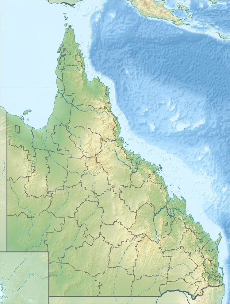 | ||
The Waterpark Creek is a creek located in Central Queensland, Australia.
Map of Water Park Creek, Queensland, Australia
The headwaters of the creek rise below Samuel Hill in the Great Dividing Range and flows in a south easterly direction. It continues through the Byfield National Park and then travels almost parallel with the Yeppoon - Byfield Road before discharging into Corio Bay, approximately 15 kilometres (9 mi) north of Yeppoon, and then into the Coral Sea. The creek descends 53 metres (174 ft) over its 35-kilometre (22 mi) course.
The drainage basin of the creek occupies an area of 1,836 square kilometres (709 sq mi) of which an area of 259 square kilometres (100 sq mi) is made up of estuarine wetlands.
References
Waterpark Creek Wikipedia(Text) CC BY-SA