
Country United States FIPS code 19-94596 Elevation 329 m Local time Sunday 5:35 AM | Time zone CST (UTC-6) GNIS feature ID 0468950 Area 77.87 km² Population 266 (2010) | |
 | ||
Weather 14°C, Wind SE at 10 km/h, 74% Humidity | ||
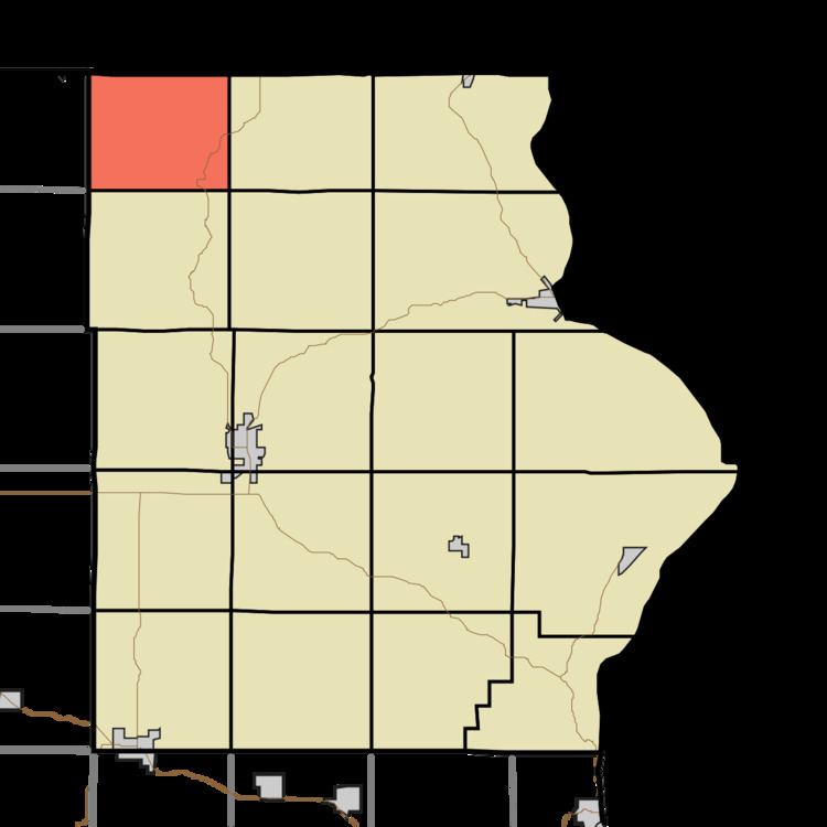
Waterloo Township is one of eighteen townships in Allamakee County, Iowa, USA. At the 2010 census, its population was 266.
Contents
Map of Waterloo, IA 52140, USA
History
Waterloo Township was organized in 1856.
Geography
Waterloo Township covers an area of 30.07 square miles (77.9 km2) and contains no incorporated settlements. It contains the unincorporated community of Dorchester. According to the USGS, it contains four cemeteries: Saint Johns, Saint Marys, Waterloo Ridge and West Waterloo Ridge.
References
Waterloo Township, Allamakee County, Iowa Wikipedia(Text) CC BY-SA