
Province Ontario | ||
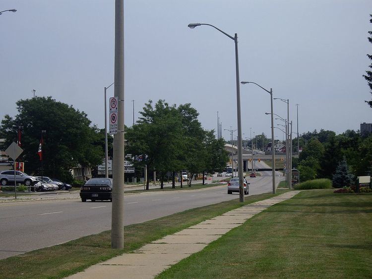 | ||
King Street, or Waterloo Regional Road 15 is the major north-south arterial road in Kitchener, Ontario, as well as Waterloo, Ontario. In both Kitchener and Waterloo, King Street divides the city into the east and west sides. At the Conestoga Parkway in southern Kitchener, King Street becomes the Highway 8 Expressway. King Street "resumes" about four kilometres to the east where Weber Street is renamed to King Street and then continues to Cambridge, Ontario.
Contents
- Map of Waterloo Regional Rd 15 Ontario Canada
- Kitchener Downtown
- Kitchener Cambridge
- Waterloo
- Woolwich and Wellesley
- References
Map of Waterloo Regional Rd 15, Ontario, Canada
Kitchener Downtown
In Kitchener, the main segment of King Street starts where the Highway 8 Freeport Diversion (also known as Highway 8 Expressway)bends in a half-clo interchange with the Conestoga Parkway. After the Freeport Diversion passes under the Conestoga overpasses, the Highway 8 designation continues on the Conestoga west of the junction if one takes the loop ramp, while going straight ahead will default to King Street, which continues in a northwesterly fashion through the Kitchener downtown area and eventually to the border with Waterloo. The Conestoga Parkway east of the interchange serves as a bypass of King Street.
Although it runs north-south, King Street is labeled east-west, since the city of Kitchener was originally planned relative to the Grand River, which runs north-south. The same is true for the other major north-south routes in the city (e.g., Weber Street), and the reverse is true for the major east-west arteries in the city (i.e., although they run east-west, they are labeled north-south).
King Street is the major street of downtown Kitchener, containing such buildings as the Kitchener City Hall and Market Square. Throughout downtown, it is also lined with shops and boutiques, as well as nightclubs. North of downtown, King Street is home to Grand River Hospital. It also contains television studios (for CKCO), as well as radio stations (96.7 Chym FM, for instance). 91.5 The Beat studio was relocated to the southern end of Kitchener/Cambridge in the Sportsworld plaza back in 2010.
In 2004, when the Highway 8/Conestoga Parkway half-clo interchange was realigned to increased traffic capacity, the number of lanes headed towards King Street was reduced from two to one, due to the need to accommodate the new flyover ramp from the Conestoga to Highway 8.
Kitchener-Cambridge
There is also another King Street in southern Kitchener that runs north-south. It originally began at Wilfred Avenue (a residential street) and ran southward into Cambridge, wedged in between the Freeport Diversion and Weber Street.
That road was initially part of the downtown King Street until the portion between Wilfred Avenue and Weber Street was used instead as the right-of-way for the Highway 8 Freeport Diversion freeway, with its terminus being redirected towards Weber Street. When the Diversion was completed in the late 1960s, in order to travel between the two segments of King Street, one had to use either the freeway's Fairway Road interchange or Weber Street and Montgomery Road.
South of Weber the street "resumed" again and continued to Cambridge, meeting up with the Freeport Diversion a second time at an at-grade Y-intersection, with the Freeport Diversion traffic being given priority. King Street continued on eastward as a divided at-grade expressway carrying the Highway 8 designation, south to Highway 401 and Cambridge. This road is often referred to as Old King Street or King East, in order to distinguish it from the downtown thoroughfare. King East provided a link between Highway 401 and the Freeport Diversion.
In 1987, the at-grade intersection was replaced with a two-ramp parclo interchange, when the freeway extension (secretly designated Highway 7187) of the Freeport Diversion was constructed to provide a direct freeway link to Highway 401 easterly to Toronto. Highway 401 eastbound traffic, however, continued to use King Street East to reach the Freeport Diversion.
In 2001, the Highway 401 exit signage at King Street East was changed from Highway 8 to Shantz Hill Road, as that section of Highway 8 had been downloaded from the province to municipal authorities in 1998. The Highway 8 designation was later given to the Freeport Diversion extension to reconnect it with Highway 401.
Waterloo
Upon crossing into Waterloo, King Street turns into a northeastward direction and continues until passing out of the city and into Woolwich Township. As in Kitchener, King Street crosses Weber Street in Waterloo (it intersects a third time at the north end of Weber Street), and also has an interchange with the Conestoga Parkway, which is now designated as Highway 85.
A major difference between King Street in Kitchener and in Waterloo, however, is that upon entering Waterloo, King Street is labeled north-south (the dividing line being Erb Street) instead of east-west as in Kitchener. The same is true of all major north-south thoroughfares in Waterloo.
Just as King Street is the main thoroughfare in downtown Kitchener, it is also the main strip of "Uptown Waterloo" (the central district of Waterloo). Shops and pubs line the street roughly from the border with Kitchener up to Bridgeport Road. Also, two major shopping malls are situated on King Street: Waterloo Town Square in Uptown Waterloo and Conestoga Mall at the junction with Highway 85 (both are currently in the midst of major redevelopment projects).
Woolwich and Wellesley
North of Waterloo, King Street intersects Weber Street once again, at Weber Street's northern terminus at St. Jacobs Farmers' Market.
Waterloo Regional Road 15 also continues west at the T intersection of King St. N and Lobsinger Line, locally known as Wagner's Corners. "Lobsinger Line" is named after a local community figure in the village of St. Clements, Ontario.
Lobsinger Line is the main road for the communities of Heidelberg, Ontario and St. Clements, Ontario as well as the Old Order Mennonites. While driving along Lobsinger Line, it is common to see signs for produce, eggs, firewood, and "No Sunday Sales", from each of the laneways.
Lobsinger Line ends at the T intersection of Lobsinger and Waterloo Regional Road 5, in the hamlet of Crosshill, Ontario.