Country Thailand Time zone THA (UTC+7) Area 315.3 km² Province Chai Nat Province | Seat Makham Thao Postal code 17120 Population 2.633 million (2008) Geocode 1803 | |
 | ||
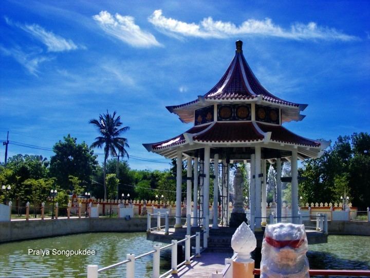
Wat Sing (Thai: วัดสิงห์) is a district (Amphoe) in the northern part of Chainat Province, central Thailand.
Contents
Map of Wat Sing District, Chai Nat 17120, Thailand
Geography
Neighboring districts are (from the northeast clockwise) Manorom, Mueang Chainat, Hankha and Nong Mamong of Chainat Province, Nong Khayang and Mueang Uthai Thani of Uthai Thani Province.
Administration
The district is subdivided into 7 subdistricts (tambon), which are further subdivided into 47 villages (muban). Wat Sing is a subdistrict municipality (thesaban tambon) which covers the whole tambon Wat Sing. There are further 6 Tambon administrative organizations (TAO).
Missing numbers are tambon which now form Nong Mamong district.
References
Wat Sing District Wikipedia(Text) CC BY-SA
