
Area 17,153 km² Local time Sunday 7:32 AM | Population 1.45 million (2013) | |
 | ||
Weather 19°C, Wind S at 10 km/h, 28% Humidity | ||
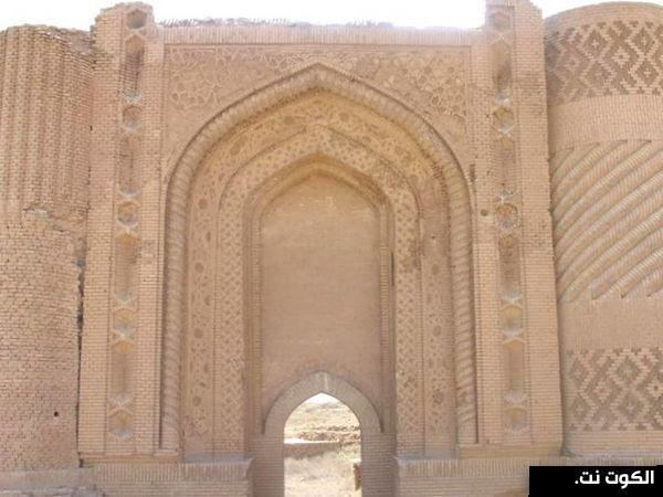
Wasit Governorate (Arabic: واسط Wāsit) is a governorate in eastern Iraq, south-east of Baghdad and bordering Iran. Prior to 1976 it was known as Kut Province. Major cities include the capital Al Kut, Al-Hai and Al-Suwaira. The governorate contains the Mesopotamian Marshes of Shuwayja, Al-Attariyah, and Hor Aldelmj. Its name comes from the Arabic word meaning "middle," as the former city of Wasit lay along the Tigris about midway between Baghdad and Basra. Wasit city was abandoned after the Tigris shifted course.
Contents
Map of Wasit Governorate, Iraq
History
The ancient Sumerian city-state of Der is located near the town of Badra.
The governorate experienced heavy fighting in the Iran-Iraq war, specifically the Battle of the Marshes.
During the Iraq spring fighting of 2004, the Mahdi Army briefly took control of the capital Kut, from April 6 to April 16, before being defeated.
Districts
Provincial Government
Demographics
The population is approximately 1,450,000. The majority are Shia Arabs. The marshes have traditionally been home to many Marsh Arabs. There are also Feyli Kurds in the eastern towns of Badra and Jassan. A small Lurish community exists east of Kut.
As of 2007, the unemployment rate is 10% and the poverty rate is 35%.